Canada’s Hidden Seismic Threat: The Awakening of the Tintina Fault
In the vast, remote stretches of Yukon territory, a dormant giant stirs beneath the earth’s surface. The Tintina fault, a geological scar extending over 1,000 kilometers across northwest Canada, long considered an ancient and inactive feature, has now been confirmed by cutting-edge research to be an active seismic hazard. This revelation is challenging decades of assumptions and soundly shifting the seismic risk landscape for the northern regions of Canada.
The Tintina Fault: Canada’s Forgotten Seismic Giant
The Tintina fault is a lateral strike-slip fault, geologically akin to California’s infamous San Andreas fault — a tectonic boundary where plates slide horizontally past one another. Historically, the fault has shifted more than 450 kilometers over millions of years, dramatically shaping the geology of Yukon and Northwest Territories. Yet until now, scientists believed this fault had been dormant for tens of millions of years, posing no current threat.
Thanks to advances in lidar (Light Detection and Ranging) technologies combined with high-resolution satellite imaging from the ArcticDEM project, a consortium of scientists from the University of Victoria, Geological Survey of Canada, and University of Alberta have uncovered geological evidence that tells a different story. Their detailed analysis reveals the fault has experienced seismic ruptures in the Quaternary Period, as recently as 12,000 years ago, indicating ongoing tectonic activity.
Uncovering Fault Activity Through Innovative Technology
Using drones and aircraft equipped with lidar sensors, researchers precisely mapped the surface morphology along the fault zone. The data revealed fault scarps—ridges formed by earthquake ruptures—offset by significant distances. Key observations include:
- Up to 1,000 meters of displacement on glacial landforms.
- Geological features dated to approximately 132,000 years ago displaced by 75 meters.
- Surfaces around 12,000 years old showing no disturbance—signifying the time of the last major rupture.
Collectively, the data overturns previous beliefs and firmly establishes the Tintina fault as an active threat that has been silently accumulating strain for millennia.
Impending Earthquake Risk: What Scientists Warn
Dr. Theron Finley, lead geologist from the University of Victoria, underscores the urgency of these findings. According to Dr. Finley, the fault has been gathering tectonic strain at rates between 0.2 to 0.8 millimeters per year for over 12,000 years. This incremental build-up means the fault is ripe for a significant earthquake – potentially reaching a magnitude of 7.5 or greater.
The proximity of populated areas like Dawson City — a historic Gold Rush settlement just 20 kilometers from the fault — raises the stakes significantly. Unlike regions such as British Columbia or California accustomed to seismic hazards, Dawson City’s infrastructure is not built to withstand tremors of this magnitude, exposing communities to possibly devastating consequences.
Broader Hazards Beyond the Shake
Earthquake risks are not limited to ground shaking alone. The surrounding terrain, characterized by steep slopes and glacial deposits, is vulnerable to landslides triggered by seismic activity. Notable unstable features include:
- The Moosehide landslide north of Dawson City.
- The Sunnydale landslide across the Yukon River.
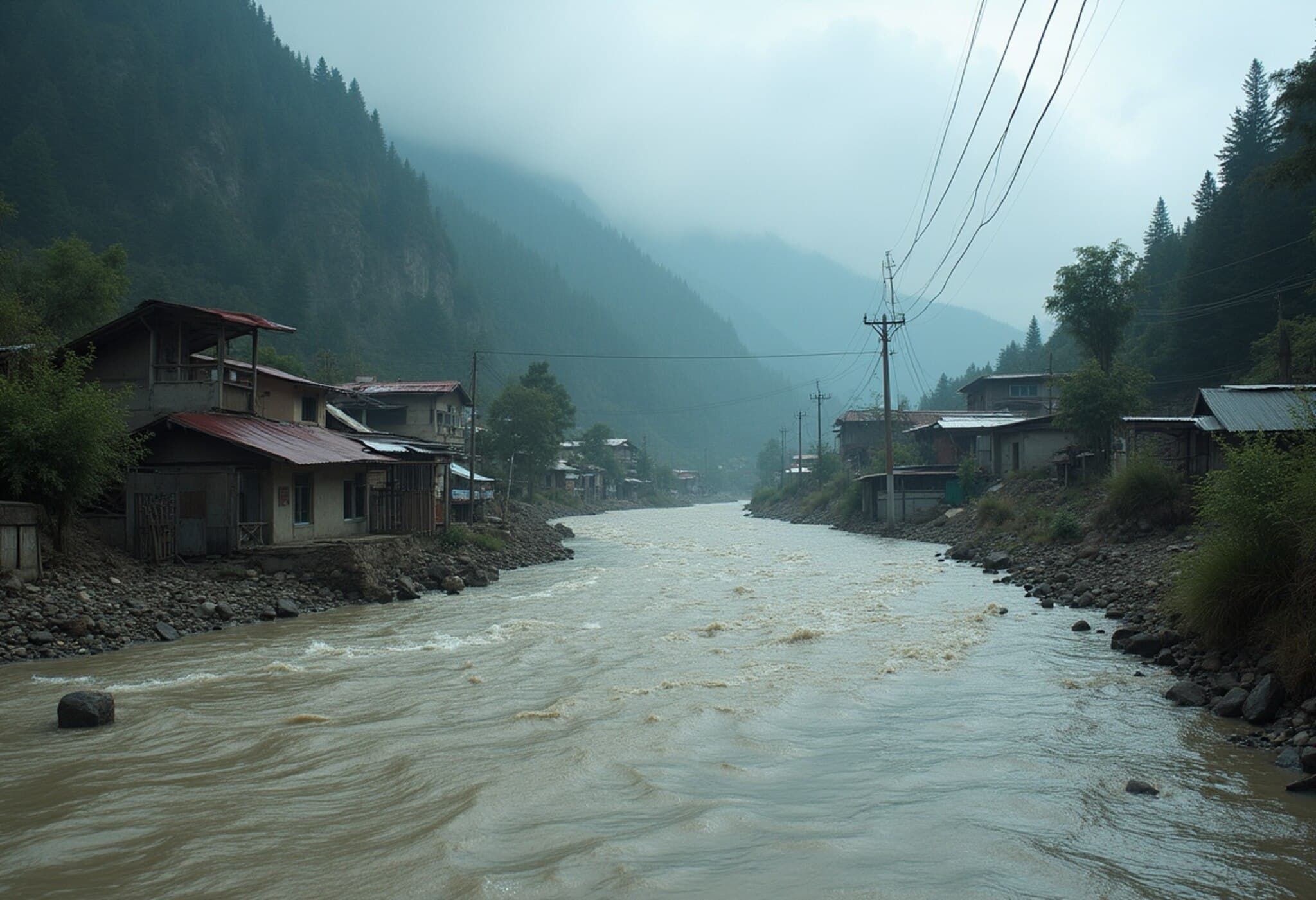
A strong quake could unleash massive earth movement, dam rivers, disrupt infrastructure, destroy ecosystems, and imperil remote communities lacking immediate emergency resources.
Policy Implications: Shaping Canada’s Seismic Preparedness
Until now, the Tintina fault was absent from Canada’s National Seismic Hazard Model (NSHM)—the critical framework guiding building codes, infrastructure design, and emergency planning nationwide. This glaring omission could no longer be overlooked in light of this research.
Natural Resources Canada has announced plans to revise the NSHM to incorporate this new data. This update will have far-reaching effects, such as:
- Adapting building codes to ensure earthquake resilience in northern communities.
- Reevaluating zoning regulations around vulnerable areas.
- Enhancing emergency response protocols tailored to remote northern regions.
- Informing national infrastructure projects crossing Yukon and bordering territories.
Collaborating with First Nations: A Shared Path to Resilience
This research was conducted within the traditional lands of the Tr'ondëk Hwëch'in and Na-Cho Nyäk Dun First Nations. Throughout the study, scientists consulted with these communities, emphasizing transparent knowledge exchange and joint preparation efforts. Involving Indigenous voices is critical, as local expertise offers invaluable perspectives on landscape changes and resilience strategies.
While earthquake prediction remains elusive, geological records affirm that the Tintina fault is nearing the end of its current seismic cycle. Dr. Finley remarks, "It’s not a matter of if but when this fault will rupture again." The call to action for policymakers, engineers, and emergency managers is clear: prioritize seismic safety in Canada’s often-overlooked northern frontier before disaster strikes.
Editor’s Note
This new understanding of the Tintina fault’s seismic activity underscores a broader challenge faced by countries with vast, sparsely populated regions: seismic hazards may lurk unnoticed until they threaten communities. The potential for a major earthquake near Dawson City invites reflection on preparedness in rural and remote Canada, including infrastructure design, emergency communication, and Indigenous collaboration. How might this discovery catalyze deeper nationwide investments in seismic research and resilience? And importantly, how will Canada ensure that remote communities do not become the least prepared for natural disasters lurking in the shadows of their beautiful landscapes?


