China’s Ambitious Mega Dam on the Yarlung Tsangpo: A Regional Game Changer
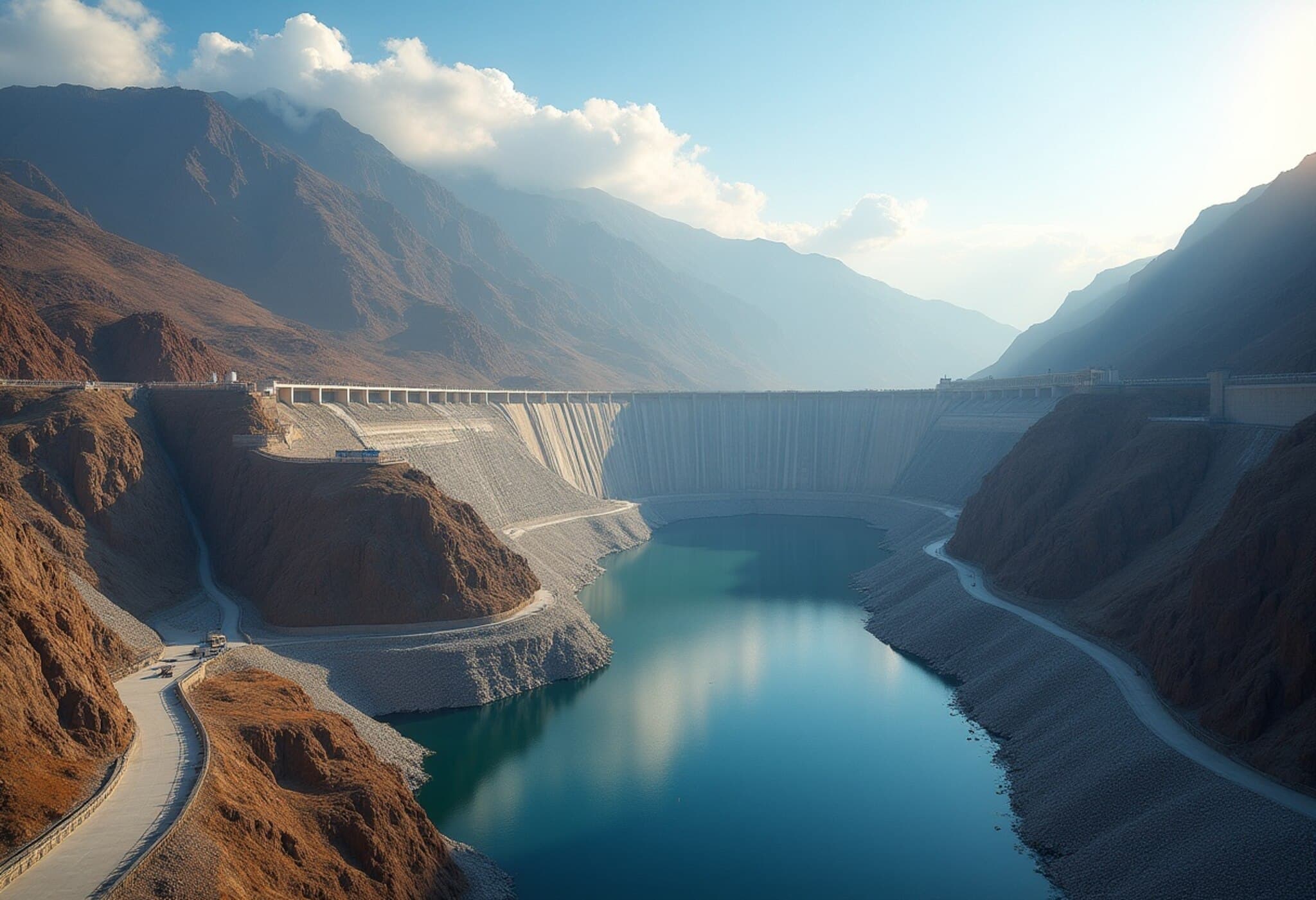
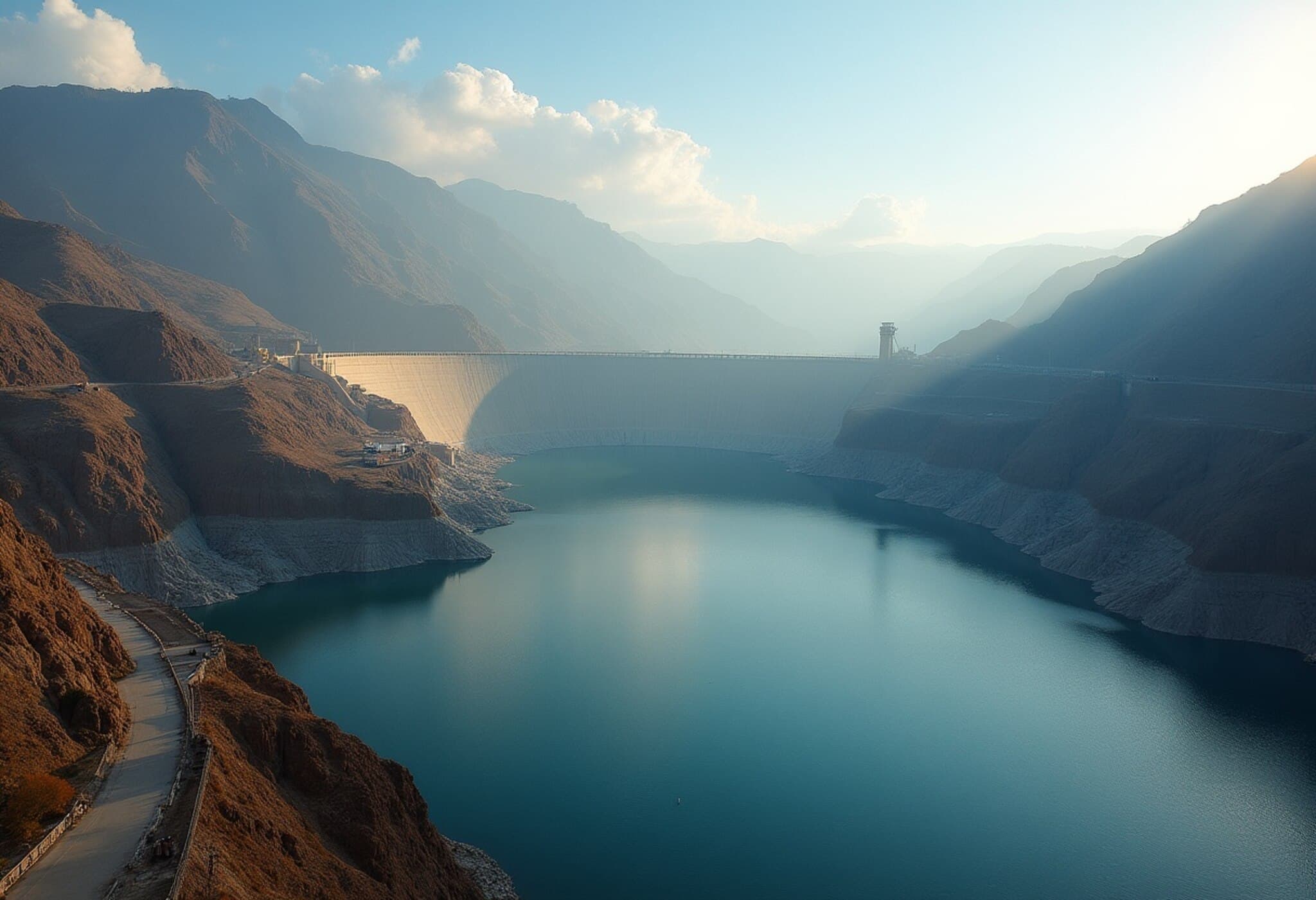
China has embarked on a colossal hydropower project that experts are already calling the “project of the century.” At an estimated cost of US$167 billion, this mega dam complex on the Yarlung Tsangpo River in Tibet aims to generate an astonishing 300 million megawatt-hours of electricity annually. Unveiled as part of China’s 14th Five-Year Plan, the initiative encompasses five cascading hydropower stations that collectively promise to redefine energy infrastructure on the Tibetan Plateau.
Tracing the Lifeline: The Many Faces of the Yarlung Tsangpo River
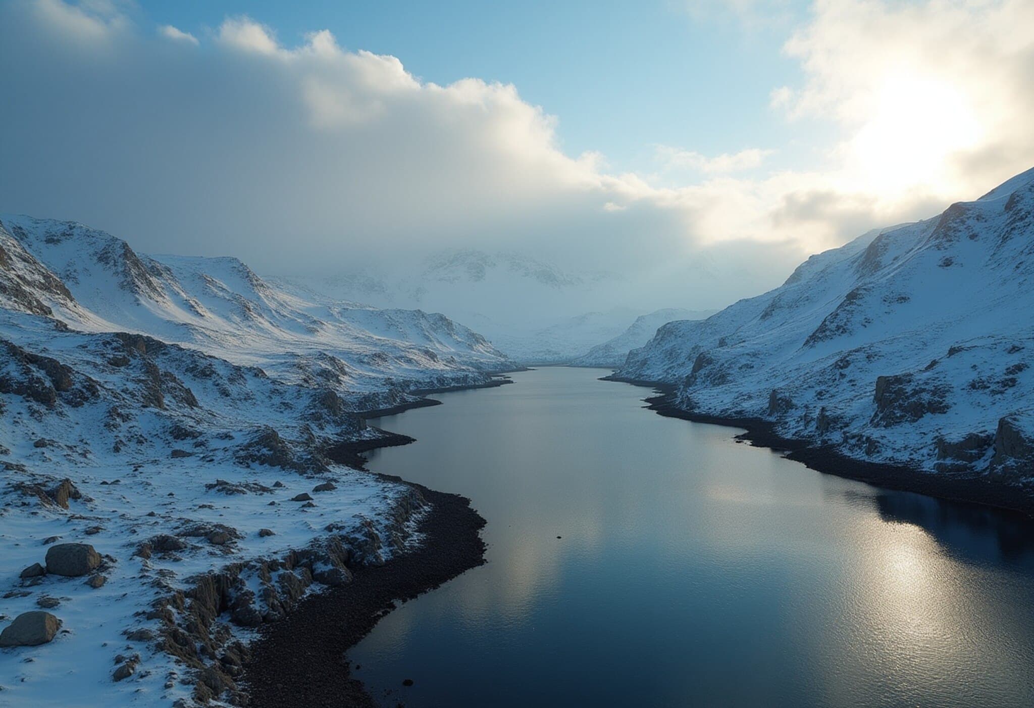
The Yarlung Tsangpo, Tibet’s largest river, originates near the sacred Mount Kailash and traverses over 2,000 kilometers, coursing through some of Asia’s most geopolitically sensitive and ecologically diverse landscapes. Known locally as the Tsangpo, meaning “river,” it makes a dramatic U-turn — the famed Great Bend — near Mount Namcha Barwa, before plunging into India as the Siang River.
Once entering India’s Arunachal Pradesh, the river gathers tributaries, becoming the Brahmaputra in Assam, further flowing into Bangladesh where it is known as the Jamuna, and finally merging with the Ganga (Padma) before emptying into the Bay of Bengal as the Meghna. Remarkably, approximately 130 million people depend directly on the Yarlung Tsangpo-Brahmaputra river system, many of whom are vulnerable rural communities. As one expert metaphorically puts it, this river is the lifeline for the northeastern Indian states and their surroundings.
Hydropower Ambitions vs. Environmental and Geopolitical Concerns
Harnessing the immense hydropower potential of the Yarlung Tsangpo is enticing for both China and India. The river’s steep Himalayan descent breeds powerful flows, which flood downstream during monsoons yet offer immense energy if captured correctly. China has already established several dams on tributaries, including the Zangmu Dam on the main river, while India fast-tracks clearance for multiple projects along its stretch.
But the stakes run high. India and Bangladesh — both lower riparian nations — express deep concern over how China’s upstream mega dam might alter water flow, flooding patterns, and sediment transport, which directly impact agriculture, fisheries, and erosion downstream. Despite Chinese assurances of no adverse transboundary impacts, skepticism persists, fueled by the absence of a comprehensive bilateral or multilateral water-sharing treaty governing the Yarlung Tsangpo basin.
An additional worrisome initiative is China’s South-North Water Transfer project, designed to divert water from southern rivers to arid northern regions, which could drastically reduce river flow downstream and exacerbate regional tensions.
A Tense Historical Backdrop: The McMahon Line Dispute
The Yarlung Tsangpo flows across one of Asia’s most contentious borders — the McMahon Line — demarcating India’s Arunachal Pradesh from Tibet. This colonial-era boundary, formalized in 1914, is recognized internationally but contested by China, which argues Tibet was not an independent state when the line was drawn. This unresolved dispute has translated into heightened military vigilance and led to armed conflict in 1962. Today, infrastructure projects like the mega dam sit squarely within this geopolitical faultline, intensifying regional anxieties.
Climate Change Adds Layers of Complexity
The Himalayas, the world’s ‘Third Pole,’ are undergoing unprecedented warming, threatening the glaciers that feed the Yarlung Tsangpo. Scientific projections indicate potential glacier mass losses between 15% and 78% by 2100 depending on emissions trajectories. Initially, glacial melt might increase river flow, exacerbating floods and threatening millions downstream. But in the long run, glacier retreat could reduce river discharge by nearly 20% between 2046 and 2065, imperiling both human livelihoods and the feasibility of hydroelectric power generation itself.
This double-edged sword calls for urgent regional cooperation over water management, climate adaptation, and disaster risk reduction. Unfortunately, the absence of a binding water-sharing framework risks turning natural resource management into a geopolitical flashpoint.
Risk of Conflict or Opportunity for Collaboration?
Experts warn that if dam-building and water diversion proceed unchecked without robust dialogue, a so-called ‘water war’ could erupt between the region’s giants, China and India, with devastating consequences for Bangladesh and Bhutan as well. At the same time, the shared dependence on the Yarlung Tsangpo-Brahmaputra system presents a compelling case for multilateral collaboration in hydropower, flood control, and climate resilience.
International observers and regional policymakers must consider these rivers not just as national assets but as shared ecological lifelines. Harnessing energy needs while safeguarding vulnerable communities and fragile ecosystems will require diplomacy anchored in scientific data, transparency, and mutual trust.
Editor’s Note
The Yarlung Tsangpo mega dam project underscores the intersection of energy ambitions, environmental fragility, and geopolitical sensitivities in one of Asia’s most complex river basins. While China’s hydropower push promises economic growth and renewable energy gains, it poses significant questions about cross-border impacts, water equity, and climate adaptation. As the Himalayan glaciers retreat and millions downstream remain vulnerable, the imperative for dialogue, cooperation, and sustainable river governance has never been more pressing. How the region navigates this challenge may well define the future of not only hydropower development but regional peace and prosperity.
Author: Nikita Mohta, Research Section, The Indian Express. Reach me at [email protected] for feedback or insights.


