Experts Reassess Cause of Dharali Landslide in Uttarkashi
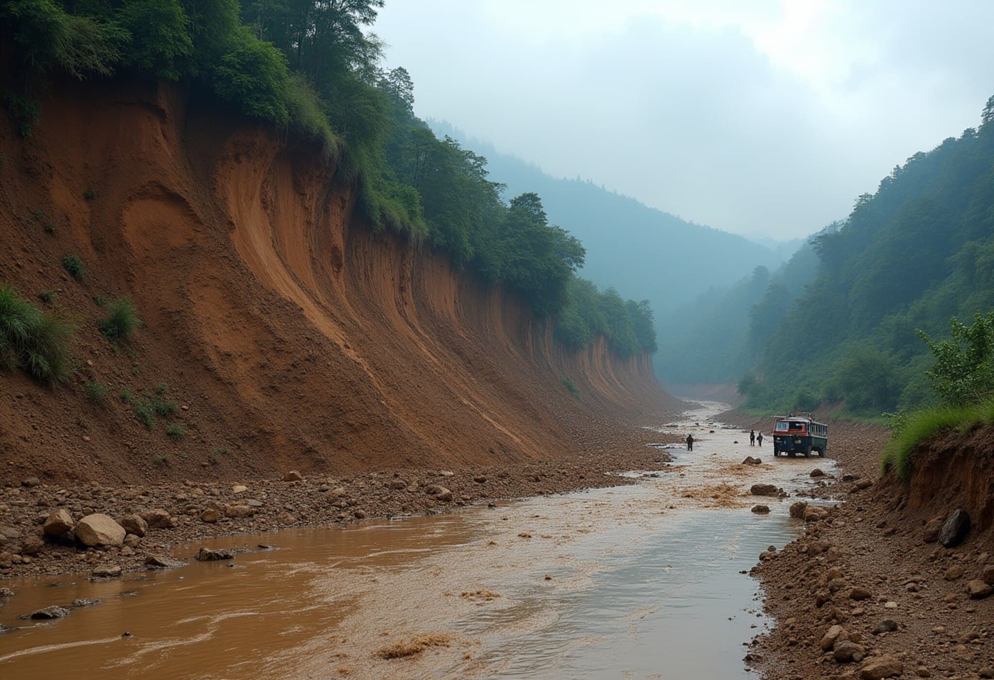
In the wake of the devastating flash flood that swept through Dharali village in Uttarkashi district, Uttarakhand, on August 5, 2025, initial assumptions about the disaster’s origins are shifting. While early reports attributed the calamity to a cloudburst, recent expert analyses leveraging satellite imagery and meteorological data suggest otherwise.
New Insights Point to Glacier Collapse or Glacial Lake Outburst
The India Meteorological Department (IMD) recorded surprisingly low rainfall during the period in question — Harsil saw just 6.5 mm on the day of the incident, with a total of 9 mm over 24 hours, and nearby Bhatwari recorded 11 mm. These levels fall well below the heavy rainfall typical of cloudburst events, which usually trigger flash floods.
“Such minimal precipitation rules out the possibility of a cloudburst-induced flood,” explains Dr. Rohit Thapliyal, senior scientist at IMD’s regional centre. Another IMD official corroborated the observation, emphasizing that the catastrophic flooding likely stemmed from a sudden, high-impact event such as a glacier burst or a glacial lake outburst flood (GLOF).
Evidence from Satellite Images and Historical Context
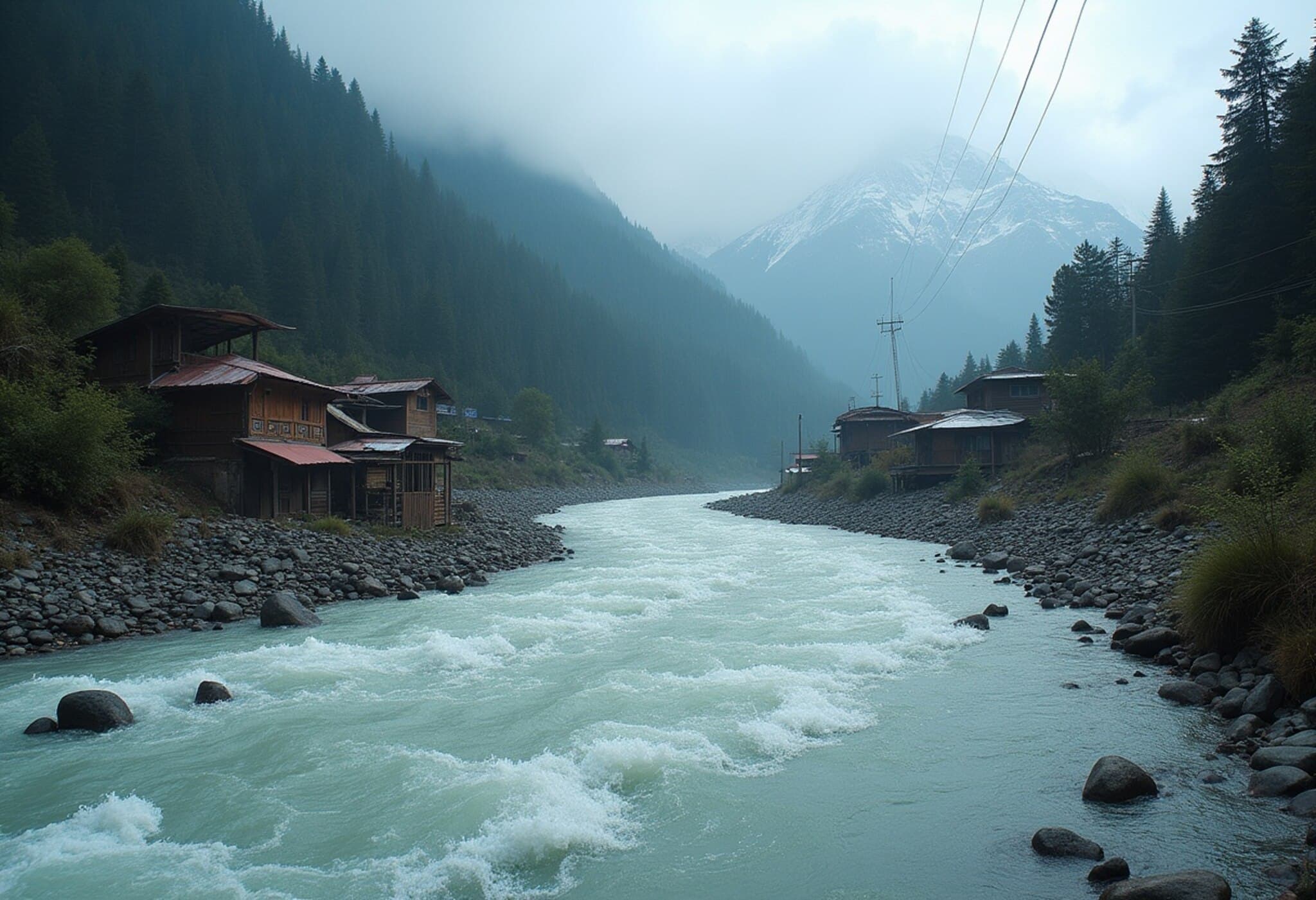
Satellite reconnaissance reveals the presence of substantial glaciers and at least two significant glacial lakes positioned directly above Dharali’s affected watershed, particularly above the Kheer Gad stream. Experts warn that a sudden breach of one of these glaciers or lakes could unleash a torrent of water with devastating downstream effects.
This bears chilling resemblance to the 2021 Raini disaster in Chamoli, which was triggered by a rock-ice avalanche and resulted in catastrophic flooding. The tragedy obliterated critical hydropower infrastructure, including the Rishiganga project and severely damaged the Tapovan-Vishnugad power plant, while tragically claiming over 200 lives.
Uttarakhand’s Vulnerable Glacial Landscape
The Himalayan state of Uttarakhand is home to over 1,266 glacial lakes, spanning from small ponds to expansive reservoirs. According to the Wadia Institute of Himalayan Geology, many of these lakes pose serious risks to vulnerable downstream communities. The National Disaster Management Authority has identified at least 13 glacial lakes classified as high-risk, five of which are deemed extremely dangerous.
As climate change accelerates glacial melt and destabilizes natural barriers, such high-impact geophysical events pose growing threats to lives, infrastructure, and ecosystems.
Broader Implications and the Path Forward
This tragedy underscores the urgent need for comprehensive glacier monitoring and early-warning systems specifically designed for mountain communities. Investments in real-time geohazard detection technologies could provide critical lead time to protect human lives and property.
Moreover, policymakers must integrate glacial risk assessments into sustainable development planning across the Himalayan region, balancing hydropower ambitions with disaster resilience.
Editor’s Note
The Dharali landslide invites reflection on the increasing unpredictability of mountain hazards amid a warming climate. Beyond the immediate rescue and relief efforts, it is vital to address the systemic vulnerabilities that leave Himalayan communities exposed to such sudden-onset disasters.
What role can enhanced scientific collaboration, regional governance, and community engagement play in bolstering disaster preparedness? As experts piece together the precise cause of the Dharali flood, one thing is clear: understanding and mitigating glacier-related risks must become a top priority for India’s mountainous heartlands.

