Israeli Military Issues Apology Over Misrepresented India Map
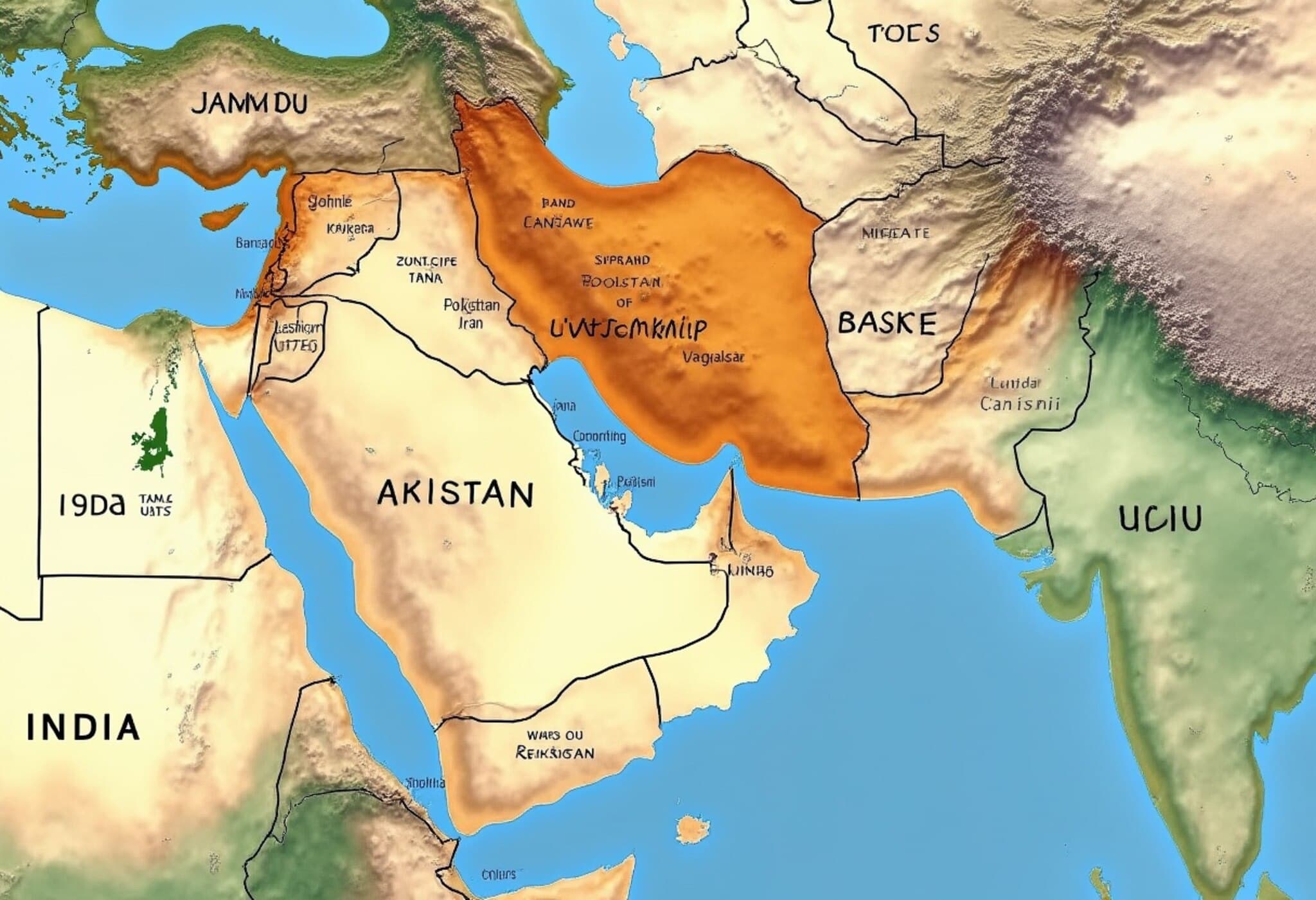
Late on Friday evening, the Israel Defense Forces (IDF) posted a map on X (formerly Twitter) that mistakenly depicted Jammu and Kashmir as part of Pakistan. This sparked immediate backlash from Indian users, prompting the Israeli military to issue a prompt apology.
What Sparked the Controversy?
The contentious map was part of a tweet highlighting Israel's view of Iran as a global threat. The map showed broad regions of West Asia, Northern Africa, Europe, and Asia—including India—but inaccurately outlined India's borders, notably misplacing Jammu and Kashmir under Pakistan.
Immediate Reaction and Official Response
- Indian X users swiftly condemned the error, urging the IDF to retract the post and correct the borders.
- Several tagged Israeli officials, including Prime Minister Netanyahu, emphasizing the significance of accurate maps given India-Israel relations.
- The IDF responded about 90 minutes later, stating, "This post is an illustration of the region. This map fails to precisely depict borders. We apologize for any offense caused."
India’s Firm Territorial Stance
The Indian government has consistently maintained that Jammu and Kashmir and Ladakh are integral parts of India, despite long-standing disputes and partial occupation by Pakistan and China. Prime Minister Narendra Modi reaffirmed this position as recently as May.
Strong Bilateral Ties Make the Error More Sensitive
India and Israel have developed a robust partnership over the years, with trade and military cooperation growing steadily. Prime Minister Modi's landmark visit to Israel in 2017 highlighted this evolving friendship. India ranks among Israel’s top clients for defense equipment, and the two countries share significant economic ties.
Context of Rising Regional Tensions
The map was posted amid escalating tensions between Israel and Iran. Israel has launched extensive military actions to curb Iran's alleged nuclear ambitions, which Iran has met with missile strikes targeting Israeli positions. The IDF’s map depicted concentric circles around Iran, illustrating missile ranges affecting countries far beyond the immediate region.
Public Reactions Reflect Diplomatic Sensitivities
- Many Indian social media users expressed disappointment, emphasizing the importance of accurate representations amidst close diplomatic relations.
- One user wrote, "Please next time upload a correct map, thank you. We are with you."
- Others urged Israel to avoid such mistakes and maintain the friendly ties between the two nations.
Looking Ahead
This incident underscores the critical importance of geographical accuracy in international communications, especially involving countries with strong bilateral ties. Despite the apology, the episode serves as a reminder of how symbolic elements like maps can spark significant diplomatic reactions.


