African Union Pushes for Map Reform to Reflect Africa's True Scale
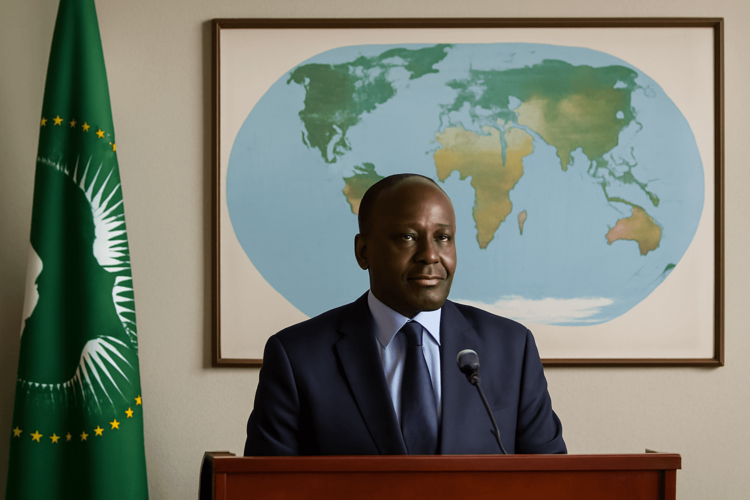
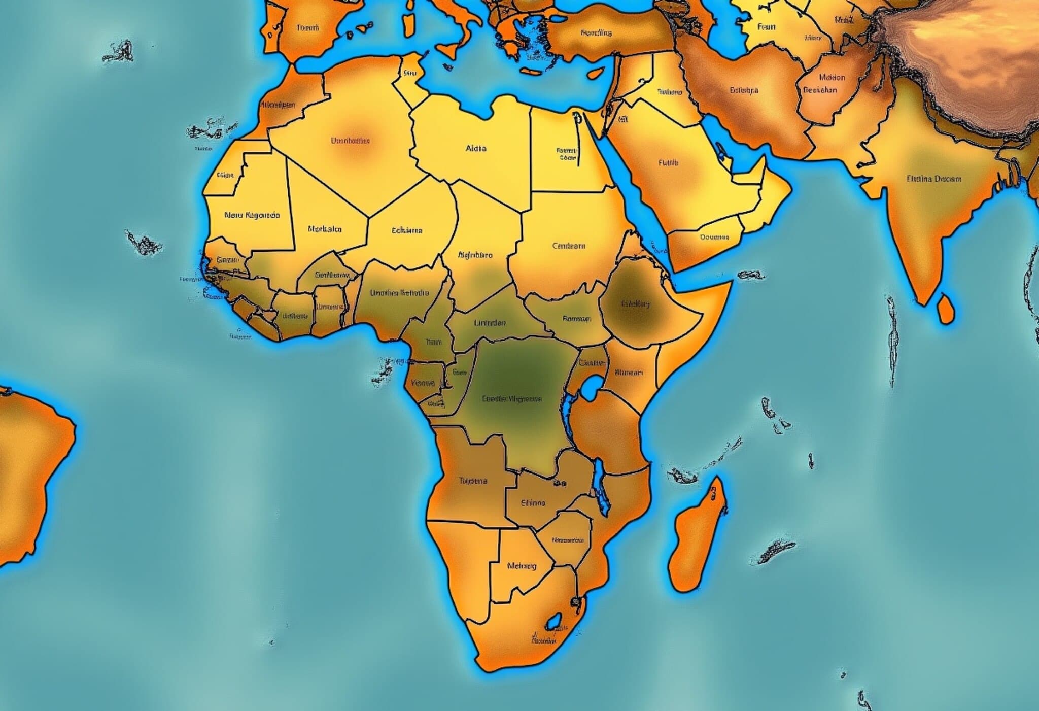
The African Union (AU) is leading a bold campaign to challenge the long-standing dominance of the Mercator world map, advocating for a map projection that accurately represents Africa’s vast size and geographical prominence. The push, gaining momentum globally, aims to dismantle the distortions of a 16th-century map that has skewed perceptions of the continent for centuries.
The Mercator Projection: An Outdated Legacy
Created in 1569 by cartographer Gerardus Mercator to facilitate maritime navigation, the Mercator map has been widely used ever since. However, its method of portraying the globe inflates regions closer to the poles, such as Greenland and North America, while significantly shrinking regions near the equator—including Africa and South America.
This distortion has consequences beyond geography; it subtly diminishes Africa’s global standing in education, media, and policy narratives. The continent, home to over 1.4 billion people across 54 countries, is portrayed as marginal and smaller than it truly is.
Reclaiming Africa's Place Through Cartographic Accuracy
AU Commission's Deputy Chairperson, Selma Malika Haddadi, emphasized during an interview with Reuters that the misleading map projection perpetuates damaging stereotypes that feed into misinformation about Africa's global significance. She stated, “It might seem to be just a map, but in reality, it fosters a false impression that Africa is minor.”
This recognition has driven the AU to endorse the Correct The Map campaign, spearheaded by advocacy groups Africa No Filter and Speak Up Africa. Their goal: to urge governments, educational institutions, and international organizations to switch to the Equal Earth projection, introduced in 2018 to depict countries closer to their true spatial proportions.
Impacts on Identity and Education
Moky Makura, Executive Director of Africa No Filter, calls the perpetuation of the Mercator map “the world’s longest misinformation and disinformation campaign,” stressing the urgent need for change. Meanwhile, Fara Ndiaye from Speak Up Africa highlights how children growing up with distorted maps can internalize skewed perceptions of their heritage and pride.
Ndiaye revealed ongoing efforts to integrate the Equal Earth projection into African school curricula, hoping this reform will ripple outward to global institutions. This is part of a broader ambition by the AU to reclaim Africa’s rightful stature on the international stage, especially amid rising calls for recognition and reparations related to the continent’s colonial past.
The Road Ahead: Advocacy and Global Dialogue
The AU plans to coordinate with its 55 member states to promote wider adoption of the Equal Earth map. Though modern digital platforms have moved towards better projections—a 3D globe view replaced Mercator on many desktop maps in 2018—mobile apps still default to the outdated Mercator projection, underscoring the transition’s incomplete nature.
On the international front, major organizations like the World Bank and United Nations are being pressed to revise their cartographic standards. A World Bank spokesperson confirmed a gradual phasing out of Mercator visuals on web maps, favoring projections like Winkel-Tripel or Equal Earth for static maps. The UN’s geospatial body (UN-GGIM) has received the campaign’s request and is undergoing expert reviews.
Global Solidarity Beyond Africa
Support for the AU’s initiative is extending to other regions affected by colonial narratives. Dorbrene O’Marde, Vice Chair of the Caribbean Community (CARICOM) Reparations Commission, endorsed the Equal Earth map as a vital rejection of the Mercator projection’s “ideology of power and dominance.” This shared solidarity highlights a growing global recognition of how cartography intertwines with history, identity, and justice.
Why Map Projections Matter in the 21st Century
Maps are not just tools for navigation; they are foundational to how societies understand the world and themselves. When maps distort reality, they can subtly influence geopolitics, economics, and cultural narratives. The AU’s campaign to embrace a more truthful depiction of Africa’s size is an act of correcting historical misconceptions and reshaping global consciousness.
Key Takeaways
- The Mercator projection inflates northern hemisphere land masses but shrinks Africa and South America.
- The African Union is advocating for the Equal Earth projection to set new global standards.
- Changing map projections can influence education, identity, policy, and international relations.
- Global institutions are being urged to reassess their cartographic practices to reflect more equitable perspectives.
- Support from regions like the Caribbean reflects a broader movement to undo colonial-era narratives embedded in maps.
Editor’s Note
This campaign reminds us that maps do much more than chart geography—they can shape worldviews and power structures. As the African Union and its partners push for a shift towards accurate, equitable map projections, it prompts a vital question: How might other forms of visual culture subtly reinforce outdated power dynamics? Understanding this helps us navigate a more just and informed global future, where every continent, country, and community is displayed in their true light.

