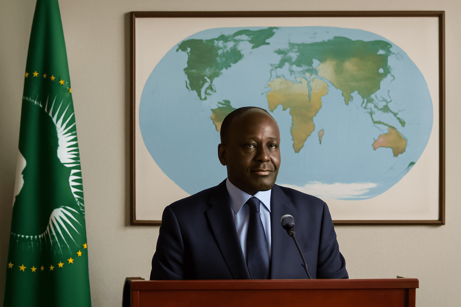
African Union Champions Accurate Mapping to Reflect Africa’s True Scale
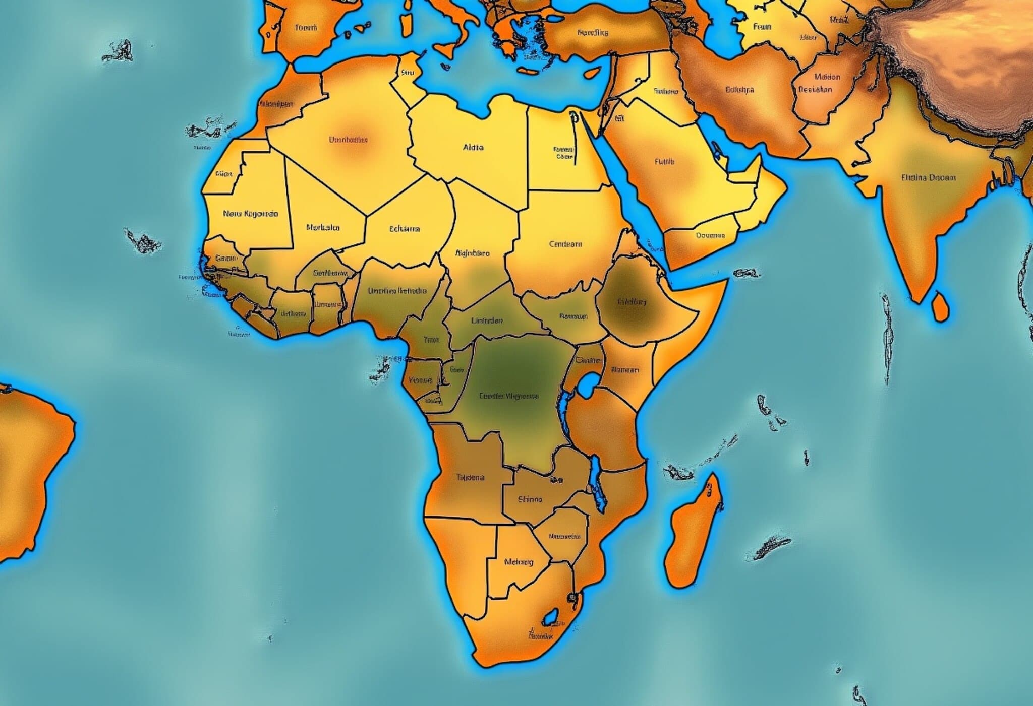
In a bold move to challenge centuries-old cartographic misconceptions, the African Union (AU) has officially endorsed a campaign urging global adoption of more accurate maps that represent Africa’s true size. This initiative seeks to rectify the widespread use of the Mercator projection—created in the 16th century by Gerardus Mercator—which drastically minimizes Africa’s enormity while exaggerating northern regions like North America and Greenland.
Why the Mercator Map Distorts Our View of Africa
The Mercator projection was initially designed to help sailors navigate the seas, preserving angles and directions rather than true landmass proportions. As a result, the projection inflates areas near the poles and compresses those near the equator. Africa, despite being the world’s second-largest continent—spanning over 30 million square kilometers and home to more than 1.4 billion people—is visually diminished on Mercator maps to appear far smaller than its actual scale.
Selma Malika Haddadi, AU Commission Deputy Chairperson, expressed to Reuters, "While it may seem like just a map, this distortion sends a powerful and misleading message that marginalizes Africa." She points out how this visual bias feeds into harmful stereotypes that seep into education, media narratives, and policy-making worldwide.
Reviving the Debate: The 'Correct The Map' Campaign
The campaign called Correct The Map, supported by advocacy groups Africa No Filter and Speak Up Africa, reignites criticism that the Mercator projection has long attracted. Their push focuses on replacing it with the Equal Earth projection, introduced in 2018, which preserves geographic proportions without sacrificing readability, offering a more truthful global perspective.
Moky Makura, Executive Director of Africa No Filter, highlighted the urgency: "Incorrect sizing on maps isn’t just a technical issue—it’s the world's longest-running misinformation campaign, and it must end."
Moreover, Fara Ndiaye, co-founder of Speak Up Africa, emphasized the psychological impact on young Africans encountering distorted maps in classrooms, stating, "Adopting accurate maps fosters pride and a correct understanding of Africa’s stature among future generations." The organizations are actively campaigning to integrate Equal Earth into school curricula across African nations.
Global Implications and Institutional Responses
The AU’s support aligns with broader efforts to reclaim Africa’s rightful position in global affairs, amid increasing demands for reparations related to colonialism and slavery. Haddadi affirmed that the union will push member states and international bodies to adopt the equitable map model.
Recognizing the ongoing use of Mercator, many institutions have started shifting toward better alternatives. For instance, Google Maps replaced its desktop Mercator view with a 3D globe in 2018, yet the Mercator projection remains the default on its mobile apps. Organizations such as the World Bank currently use the Winkel-Tripel or Equal Earth projections for many static maps, signaling a gradual transition away from Mercator.
The campaign is also lobbying the United Nations Committee of Experts on Global Geospatial Information Management (UN-GGIM) to endorse the Equal Earth projection. A UN spokesperson noted that any official adoption requires thorough expert review and committee approval.
Regional Allies and Broader Symbolism
Support for the AU’s initiative extends beyond Africa. Dorbrene O’Marde, Vice Chair of the Caribbean Community (CARICOM) Reparations Commission, welcomes the Equal Earth projection as a symbolic rejection of the Mercator map’s embedded "ideology of power and dominance", which echoes the colonial era’s imbalances.
Conclusion: Why Mapping Matters More Than Ever
Maps are often seen as neutral tools, but as the AU’s campaign vividly illustrates, they carry profound implications for identity, perception, and global power structures. Accurately representing Africa on the world map is more than cartographic precision—it’s a step toward correcting historical injustices and reshaping narratives about the continent’s role in the 21st century.
Editor’s Note
As the world grapples with issues of representation and equity, the map we use daily could either perpetuate outdated biases or help foster a true understanding of geography and geopolitics. The AU’s push for the Equal Earth projection invites us to reconsider how visual tools influence our worldview — from classrooms to boardrooms. Which map do we choose defines not just territory, but respect and recognition.

