Hurricane Erin Drives Mass Evacuations Amid Rising Coastal Erosion in North Carolina's Outer Banks
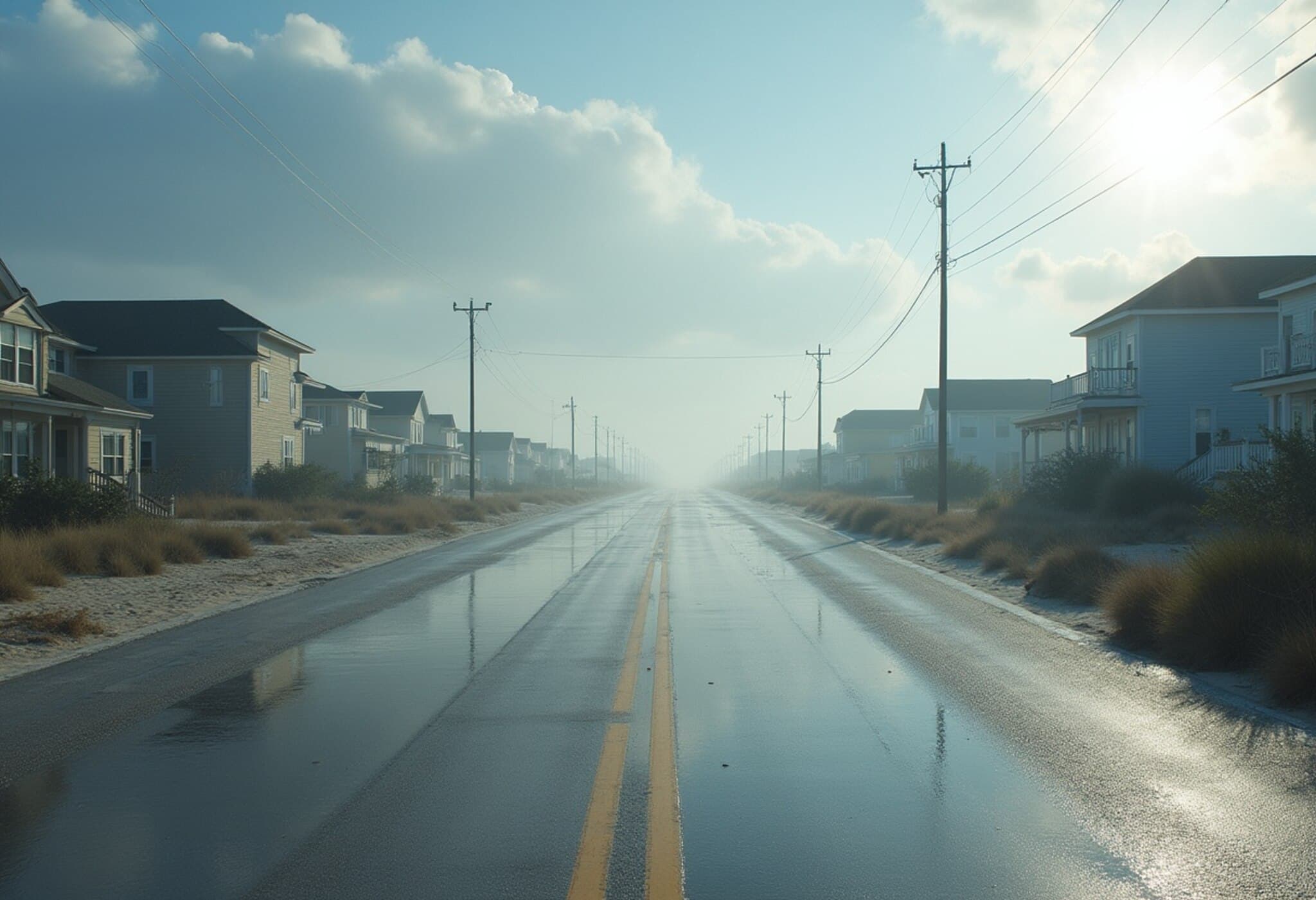
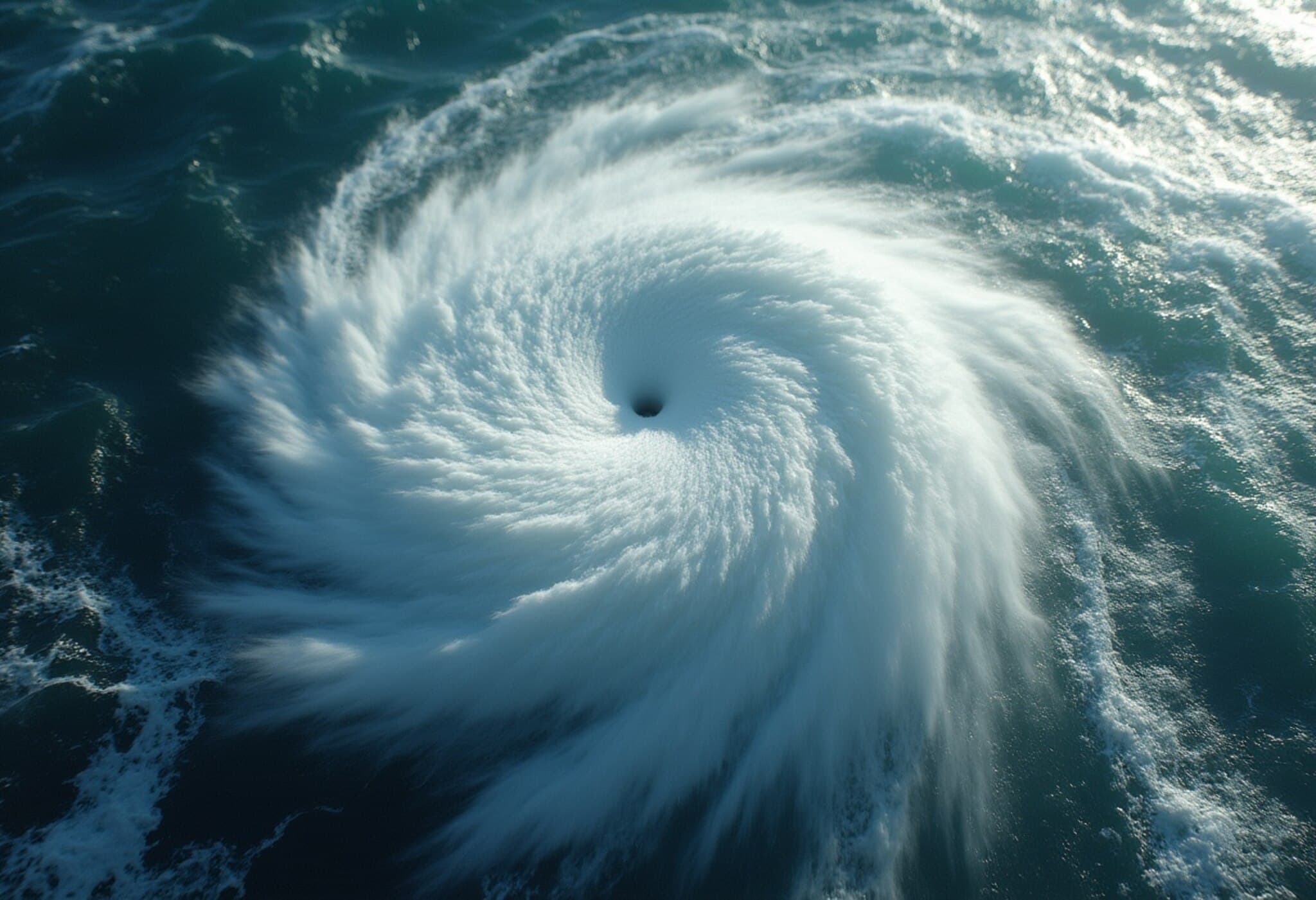
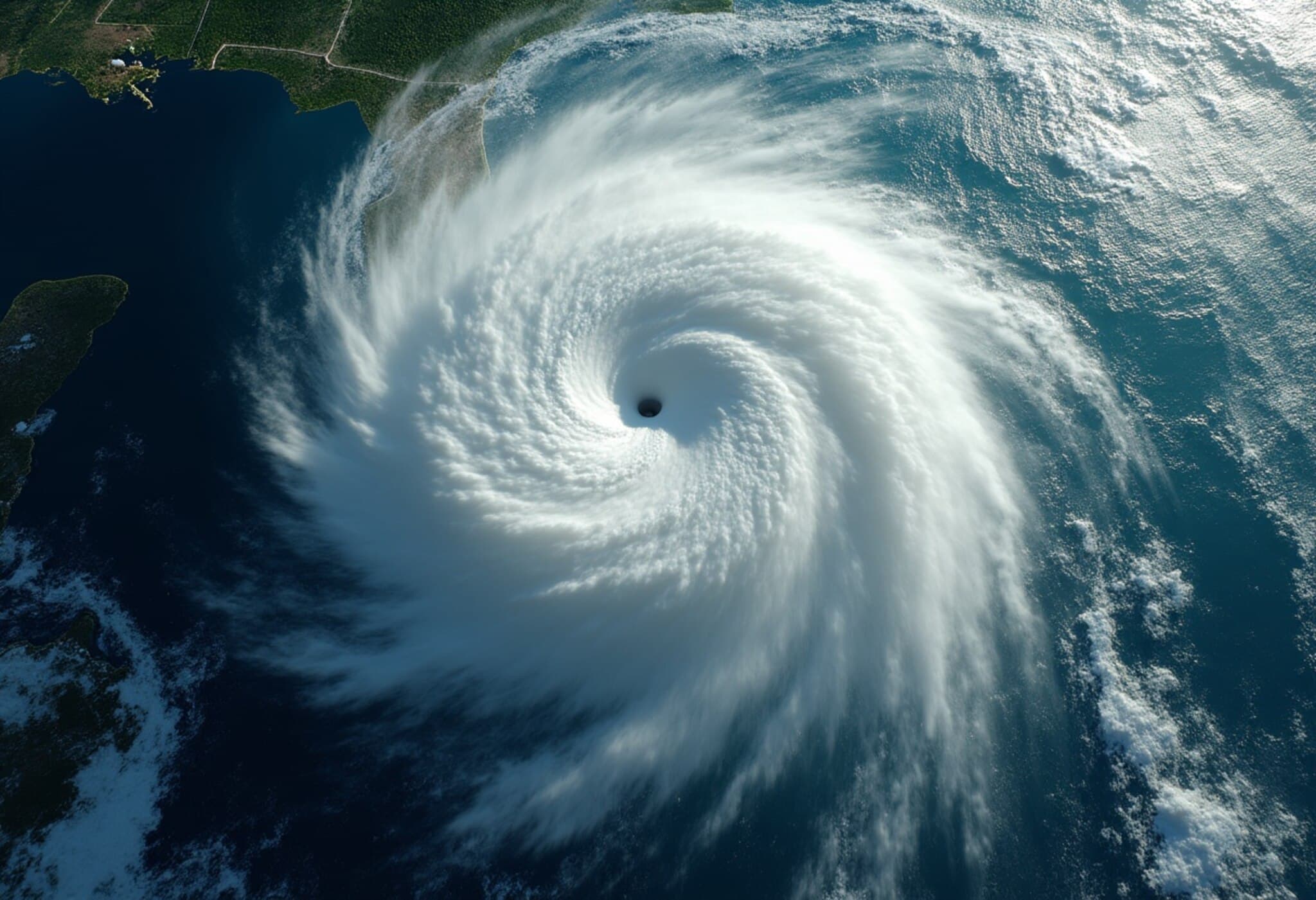
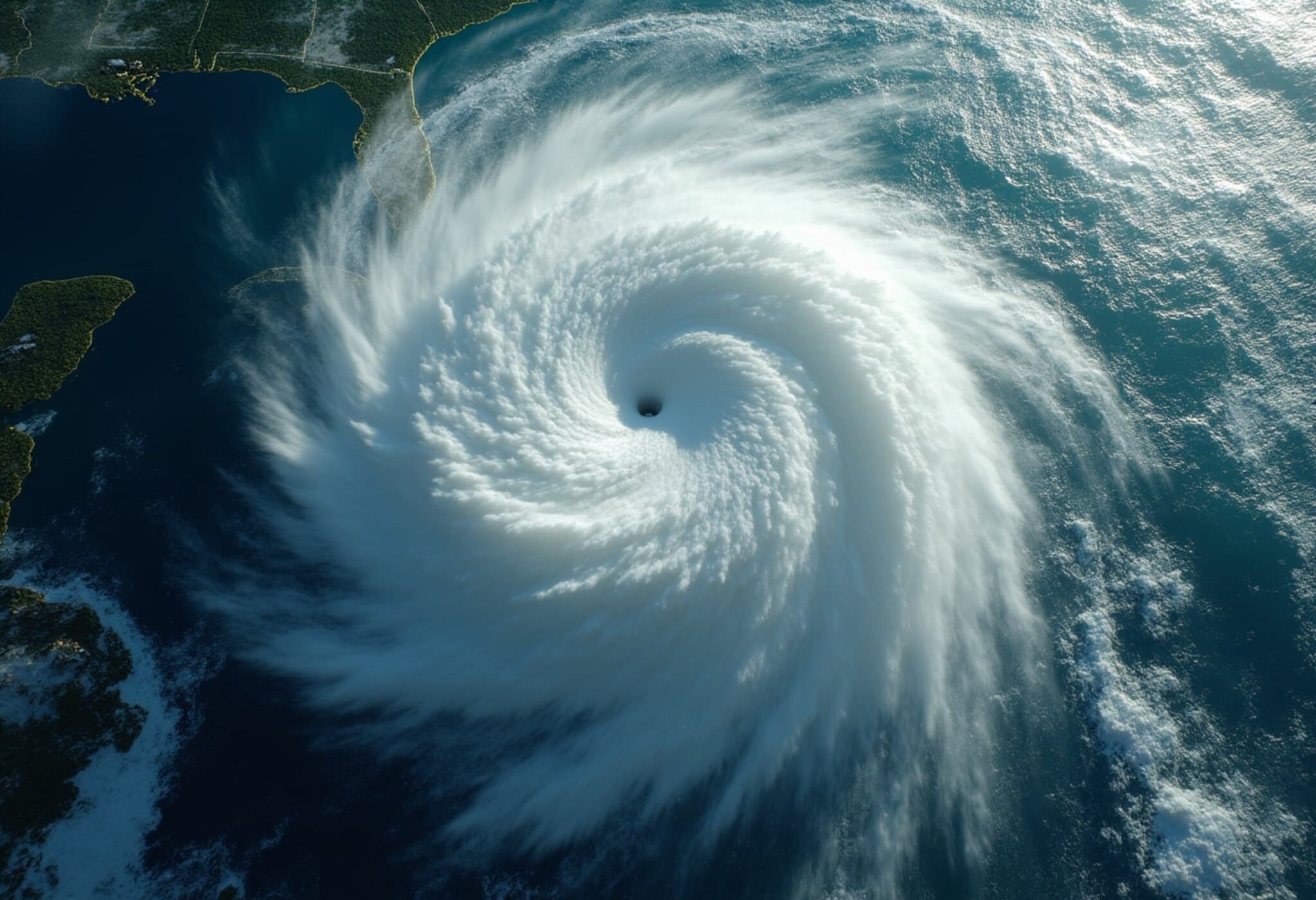
As Hurricane Erin churns offshore, battering North Carolina’s fragile Outer Banks with towering waves over 20 feet high, residents of Hatteras and Ocracoke islands are bracing for impact. Though forecasted to remain hundreds of miles from landfall, the storm is already delivering powerful surf that threatens to wash out North Carolina Highway 12 (N.C. 12), the vital roadway that connects these barrier islands to the mainland.
The Lifeline at Risk: N.C. 12
Locals often joke about the vulnerability of their home with T-shirts proclaiming, “One road on. One road off (sometimes),” highlighting the precariousness of this sole transportation artery. Experts warn that this week, Mother Nature could win that battle.
The North Carolina Department of Transportation and local officials have proactively ordered evacuations across Hatteras and Ocracoke islands, anticipating multiple breaches in N.C. 12. Closure of this road would mean isolated communities, cut off for potentially weeks, underscoring the tremendous challenges barrier islands regularly face in storm conditions.
Understanding the Outer Banks: A Landscape Defined by Water
Stretching up to 30 miles offshore, the Outer Banks are a delicate chain of sand dunes formed over millennia as glaciers receded. Between the vast expanse of the Atlantic Ocean to the east and the sheltered Pamlico Sound to the west, the islands’ geography epitomizes the phrase “water, water everywhere.” Their survival depends on these shifting sands—an ongoing battle intensified by climate change.
- Population centers: Northern areas like Nags Head and Kill Devil Hills are densely populated and remain outside evacuation zones.
- Vulnerable southern islands: Hatteras Island and Ocracoke Island, accessible only via N.C. 12 or by boat and plane, face acute risks.
Infrastructure Maintenance: A Costly and Complex Endeavor
Maintaining N.C. 12 is an ongoing struggle requiring constant vigilance. On calm days, crews clear sand drifting onto the highway with specialized equipment. However, storms like Hurricane Erin bring devastating erosive forces that can breach dunes, wash out pavement, and even carve new inlets, necessitating complex repair works.
Over the past decade, North Carolina’s transportation department has spent approximately $1 million annually on routine upkeep and over $50 million on storm damage repairs. This investment surrounds an economic reality: Dare County, home to much of the Outer Banks, generates nearly $2 billion in tourism revenue each year. These financial stakes highlight the high cost of preserving both access and livelihoods.
Historical Lessons and Ongoing Vulnerabilities
Past storms provide stark reminders of the Outer Banks’ fragility. Hurricane Isabel in 2003 and Hurricane Irene in 2011 both created new inlets along Hatteras Island, forcing reliance on ferry transport for months. Smaller storms and nor’easters regularly close roads for days, illustrating a persistent vulnerability.
Yet, erosion isn’t solely a product of storms. Rising sea levels, driven by climate change, steadily erode the islands’ already fragile coastline. In Rodanthe, a town protruding farthest into the Atlantic, the ocean has claimed over a dozen homes since 2020 alone. Officials fear Hurricane Erin could add two more unoccupied structures to that list.
The Spirit of the Outer Banks Community
Despite relentless challenges, the Outer Banks remain home to resilient communities who deeply cherish this unique environment. Shelli Miller Gates, a longtime resident and respiratory therapist, recalls a simpler time growing up here in the 1970s, when luxuries like air conditioning and television were rare.
“I love the water. I love the wildness of it. It’s the way I want to live my life,” Gates reflects.
Living on the Outer Banks is more than a residential choice; it’s a lifestyle embraced by many who prize solitude, natural beauty, and a strong sense of belonging. The islands' nickname, “OBX,” features prominently on local license plates—a testament to community pride and identity.
Even as isolation becomes more frequent during storm-driven road closures, residents show remarkable solidarity, banding together to face adversity. Gates reminds us, “There are so many things that can happen to you anywhere. You have to find the place that feels like home.”
Looking Ahead: What Hurricane Erin Reveals About Coastal Resilience
The unfolding situation with Hurricane Erin underscores urgent questions for policymakers, environmental scientists, and residents alike:
- How can infrastructure be sustainably rebuilt or relocated to withstand increasingly severe weather?
- What investments can support long-term resilience against rising sea levels beyond temporary repairs?
- In what ways can tourism and economic activities be balanced with environmental preservation?
As climate change accelerates, the Outer Banks serve as a microcosm for the challenges coastal communities face globally. Understanding and acting on these realities is critical not just for current residents, but for the future of shorelines everywhere.

