Hurricane Erin Intensifies Over Caribbean, Poses Growing Threat
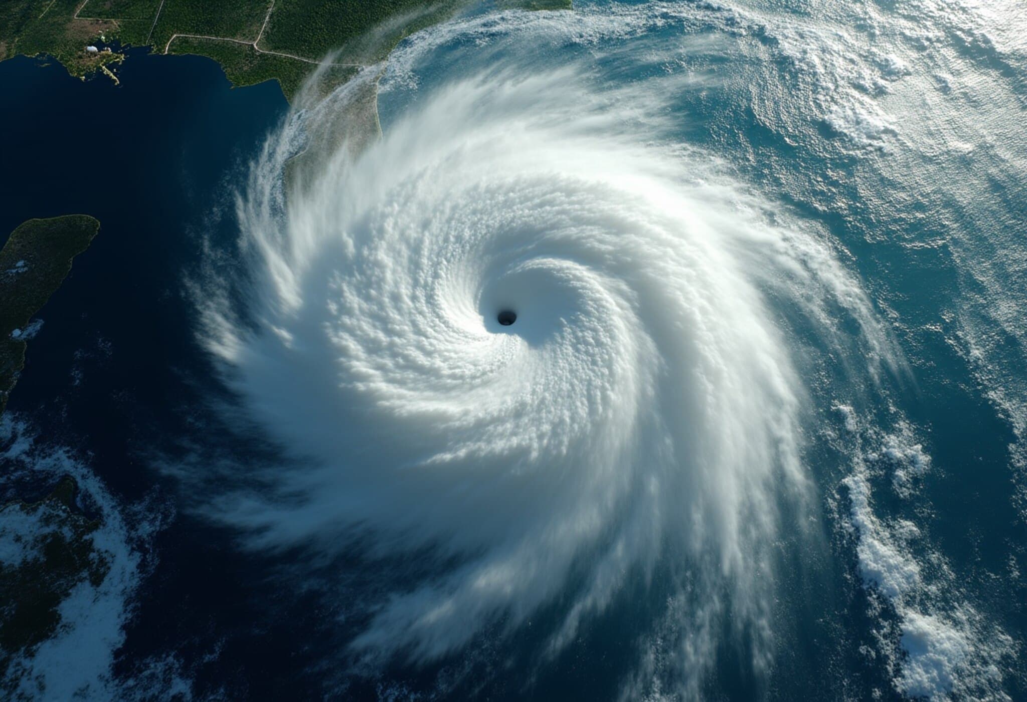
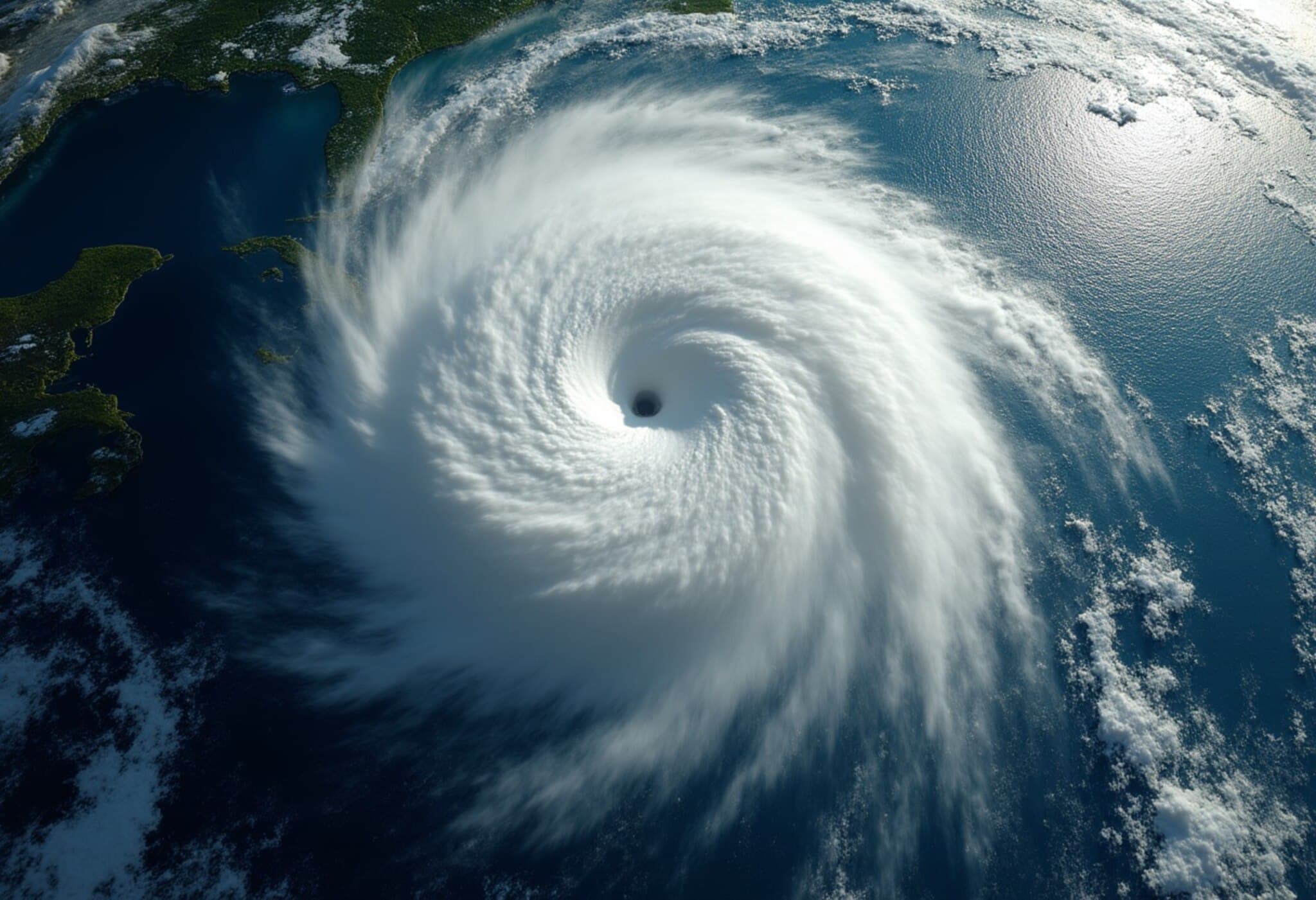
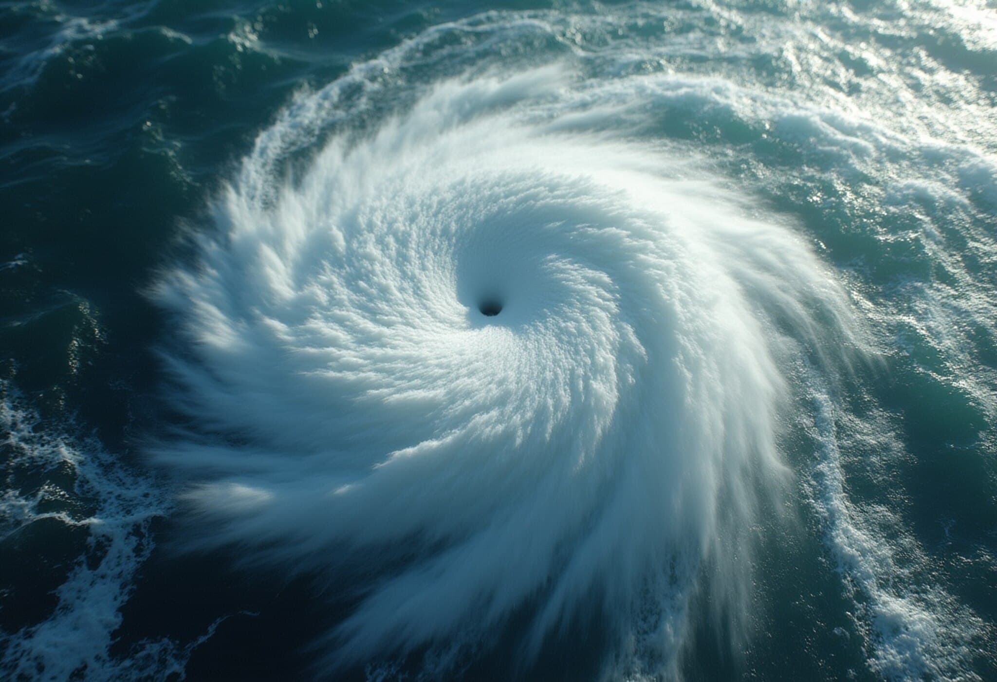
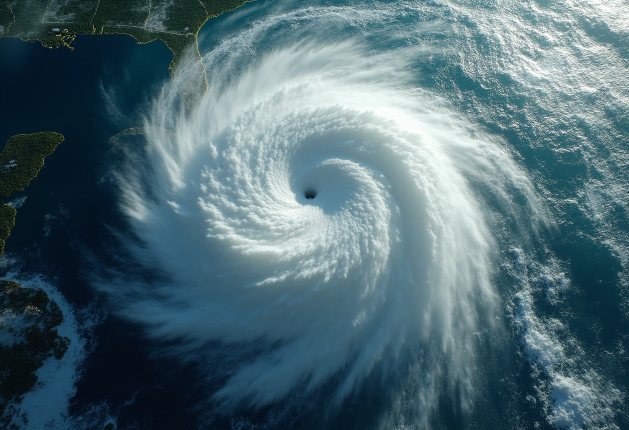
On August 16, 2025, Hurricane Erin surged into a powerful Category 3 hurricane with sustained winds reaching 120 mph (195 km/h), currently sweeping through the Caribbean. The National Hurricane Center (NHC) reports that Erin is moving west-northwest at 20 mph, located approximately 170 miles northeast of Anguilla. Meteorologists warn that the storm is poised to further intensify into a Category 4 hurricane as it encounters exceptionally warm ocean waters, a critical factor fueling its strength.
Unprecedented Warm Waters Amplify Hurricane Strength
Experts note that the ocean surface temperatures, along with deep water layers, are several degrees above average—a phenomenon that acts like turbo fuel for hurricanes. Alex DaSilva, lead hurricane expert at AccuWeather, emphasized, “Erin is forecast to explode into a powerful Category 4 hurricane as it moves across very warm waters in the open Atlantic.” This anomalously warm water is part of a worrying pattern associated with climate change, which scientists say is making hurricanes more intense.
Potential Impacts on Caribbean Islands
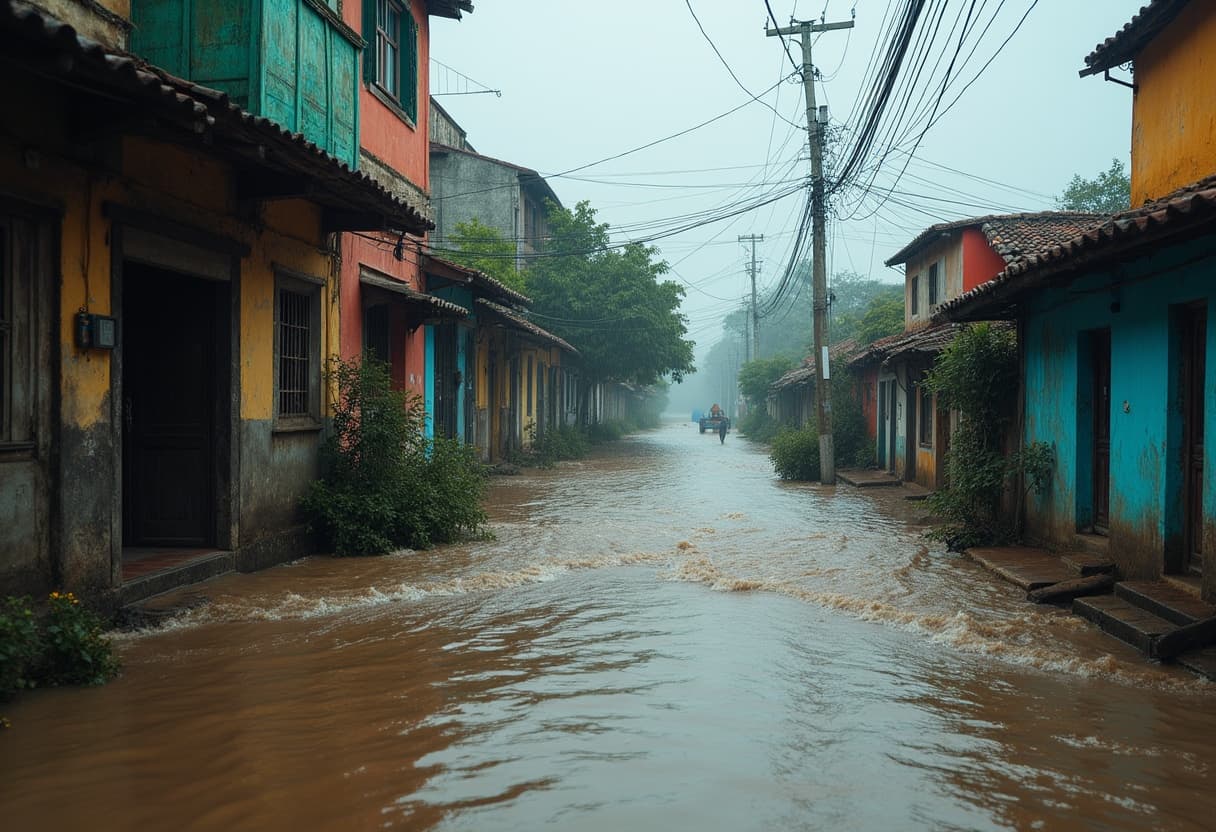
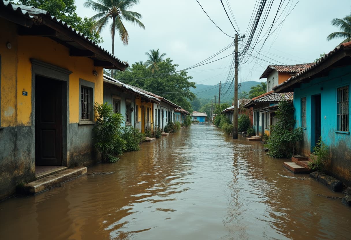
- Flooding and Landslides: Tropical storm watches cover St. Martin, St. Barthelemy, and Sint Maarten, with projected rainfall between 4 to 6 inches. The National Hurricane Center warns of localized flash flooding, urban flooding, and the risk of mudslides.
- Emergency Preparation Efforts: Over 200 FEMA personnel have been deployed to Puerto Rico as a precautionary measure, while 367 shelters in the territory are inspected and ready to open if necessary. In the Bahamas, officials have set up public shelters and are urging residents to stay vigilant.
- Port Closures: The U.S. Coast Guard has closed six seaports in Puerto Rico and two in the U.S. Virgin Islands to incoming vessels without prior clearance, aiming to minimize risk and facilitate emergency response.
Forecast and Trajectory: Will the U.S. Mainland Be Impacted?
Current projections indicate that Erin will take a sharp turn northeast, veering away from the U.S. mainland. Hurricane specialist Michael Lowry notes, “All of our best consensus aids show Erin turning safely east of the United States next week.” However, he warns that this shift will bring the storm dangerously close to Bermuda, potentially exposing the island to the hurricane’s stronger eastern side.
Broader Context: The 2025 Hurricane Season
Erin marks the fifth named storm of this Atlantic hurricane season, which runs from June to November. It is also the first to escalate to hurricane strength this year. Forecasts predict an above-average season with 6 to 10 hurricanes, including 3 to 5 major hurricanes reaching Category 3 or higher (winds exceeding 110 mph). The combination of warm waters and atmospheric conditions suggests a volatile season, challenging emergency management agencies.
Expert Insights: Climate Connections and Emergency Preparedness
As the Atlantic faces a growing number of powerful storms, emergency management officials underscore the importance of preparedness, especially in vulnerable island communities. The intensification of hurricanes like Erin is a stark reminder of the intersection between climate change and natural disaster resilience. Experts urge investment in strengthening infrastructure, improving forecasting technologies, and community education to better withstand future events.
Questions Raised
- How will increasing sea surface temperatures influence long-term hurricane frequency and strength?
- Are current emergency response frameworks adequate for managing stronger and more volatile storms?
- What role do international and regional collaborations play in disaster preparedness for Caribbean nations?
Summary
While Hurricane Erin is currently bypassing the U.S. mainland, it remains a serious threat to Caribbean islands and Bermuda as it intensifies further. The storm highlights the urgent need to address climate-driven changes in hurricane behavior and reinforces the critical importance of readiness, rapid response, and resilient infrastructure in vulnerable regions.
Hurricane Erin's rapid intensification over anomalously warm waters is a vivid illustration of how climate change is reshaping tropical cyclone dynamics. This evolving threat calls for a renewed focus on adaptive strategies, from bolstering emergency shelters to enhancing early-warning systems. As the Atlantic hurricane season unfolds, monitoring such storms with a critical eye can help save lives and protect communities. Readers are encouraged to stay informed through official weather channels and support policies aimed at climate resilience.

