NASA and ISRO’s $1.5 Billion NISAR Satellite: A New Era in Earth Observation
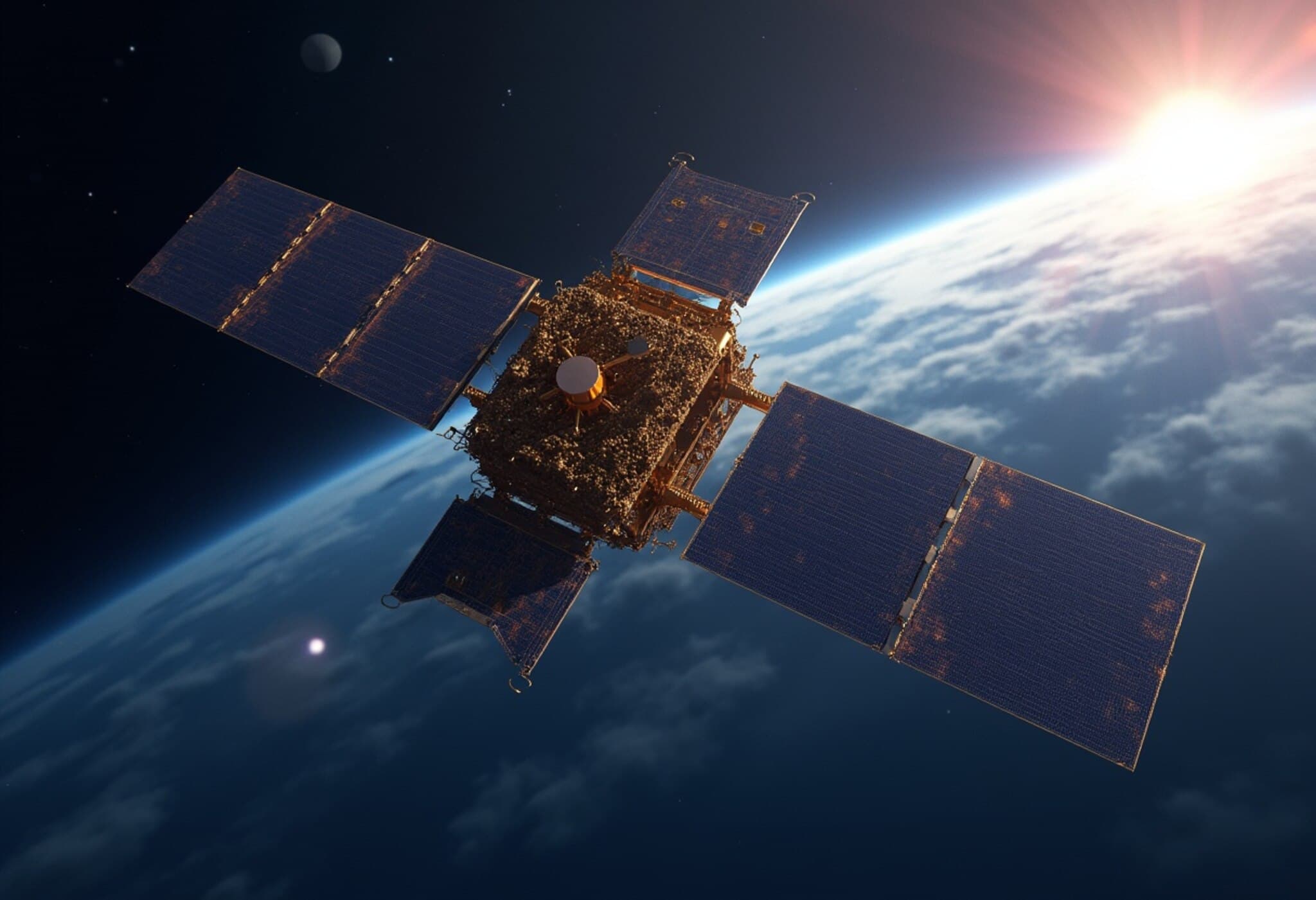
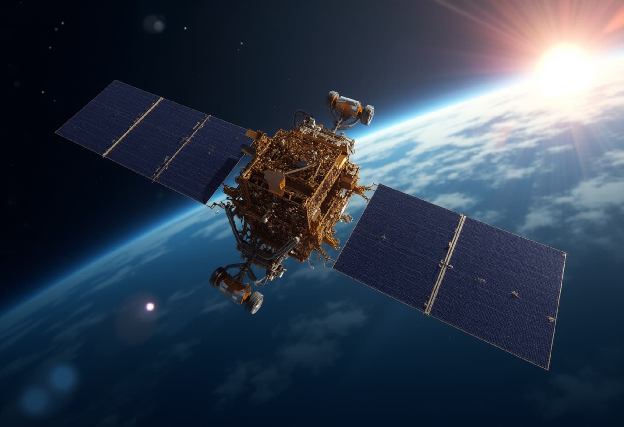
As the world watches the skies over Sriharikota this July 30, a landmark moment in space science unfolds. India’s Indian Space Research Organisation (ISRO) is set to launch the NASA-ISRO Synthetic Aperture Radar satellite, aptly named NISAR, from Andhra Pradesh. This colossal project, with a price tag of $1.5 billion, stands as one of the most expensive and ambitious Earth-observing satellites ever constructed.
More than a mere technological marvel, NISAR represents a potent symbol of international cooperation. By blending NASA’s cutting-edge expertise with ISRO’s growing capabilities, this collaboration promises to catapult our understanding of Earth's dynamic systems to new heights — with profound implications for climate research, disaster management, and ecological conservation.
Unveiling the Planet's Subtle Shifts: Precision Beyond Imagination
At the heart of NISAR’s groundbreaking capabilities lie its twin synthetic aperture radars operating on L-band and S-band frequencies. Capable of discerning movements on Earth's surface smaller than a coin’s thickness from hundreds of kilometers in space, this satellite will offer an unprecedented zoom-in on surface changes.
This extraordinary sensitivity means NISAR can monitor minute shifts — from creeping glaciers in Antarctica to seismic tremors foreshadowing earthquakes. Unlike optical satellites hindered by clouds or nightfall, NISAR’s radar instruments function day and night, irrespective of weather conditions. This persistent vigil ensures continuous monitoring critical for tracking volatile phenomena like volcanic eruptions and landslides.
Redefining Disaster Prediction and Infrastructure Safety
Natural disasters often give subtle warnings—a slight ground shift, an imperceptible tremor—that go unnoticed until calamity strikes. NISAR’s precision radar promises to capture these early signals more effectively than ever before. Detecting tiny deformations along fault lines could pave the way for earlier earthquake warnings, potentially saving countless lives.
Beyond natural calamities, the satellite will monitor vital infrastructure such as dams, levees, and aqueducts, spotting minuscule ground shifts that might signal structural vulnerabilities. This constant surveillance acts as an ever-watchful engineer, enabling preemptive maintenance and averting catastrophic failures that could cripple communities.
Technological Triumph: Processing 80 Terabytes of Daily Data
NISAR’s dual radar payload generates an astounding 80 terabytes of data daily—comparable to streaming 16,000 high-definition movies every day. Handling this gargantuan data flow demands sophisticated cloud-based processing and distribution networks, granting scientists worldwide near real-time access to critical planetary insights.
This fusion of hardware engineering and data science reflects a leap forward in remote sensing technology, showcasing the synergistic potential of traditional radar design and modern computing power.
Ecological Insights: Monitoring Forests, Agriculture, and Wetlands
NISAR’s revisits every 12 days to scan the Earth’s surface will offer continuous updates on diverse ecosystems. The L-band radar penetrates dense forest canopies to assess tree health and deforestation patterns, while the S-band radar keeps tabs on agricultural productivity and seasonal crop health.
This cyclical data stream will foster a deeper understanding of climate change’s localized impacts, helping scientists and policymakers craft informed conservation strategies. For regions reliant on agriculture and natural resources, NISAR's insights will be invaluable in adapting to environmental shifts and sustaining livelihoods.
Setting a New Standard for Global Space Cooperation
The launch of NISAR underscores the power of transnational collaboration in scientific advancement. With India’s Space Applications Centre responsible for the S-band radar and NASA’s Jet Propulsion Laboratory developing the L-band system, integrating these into ISRO’s spacecraft platform demanded intricate engineering diplomacy.
This partnership not only shares the hefty costs of space exploration but also serves as a template for future cooperative missions. In an era where space is becoming increasingly globalized, NISAR exemplifies how pooling technical expertise and resources yields breakthroughs unattainable by one agency alone.
For students and young professionals eyeing careers in space science, climate research, or disaster management, NISAR’s journey highlights an inspiring path shaped by international teamwork and innovation.
Looking Ahead: Scientific and Societal Impact
Over its mission lifespan, NISAR is expected to usher in sweeping advances in our knowledge of Earth’s geology, hydrology, and ecosystems. This wealth of information will not only advance academic inquiry but also enhance practical responses to environmental challenges—better flood forecasting, smarter agricultural planning, and more precise infrastructure maintenance are just the beginning.
As climate change accelerates and natural disasters grow in frequency and intensity, tools like NISAR become indispensable guardians of the planet.
Editor’s Note
The NISAR satellite exemplifies how ambitious global partnerships can push the boundaries of what’s possible in space science and Earth observation. Its sophisticated radar technology promises not only to unravel Earth’s subtle transformations but also to become a cornerstone in safeguarding lives and ecosystems. As NISAR embarks on its mission, critical questions remain: How will this torrent of data be leveraged for equitable climate resilience? Will nations build on this cooperation to tackle broader environmental challenges collectively? For aspiring scientists and policy makers alike, NISAR offers a beacon of hope and a call to action.


