Stunning Timelapse Reveals the Swift Rise of Floodwaters in Texas
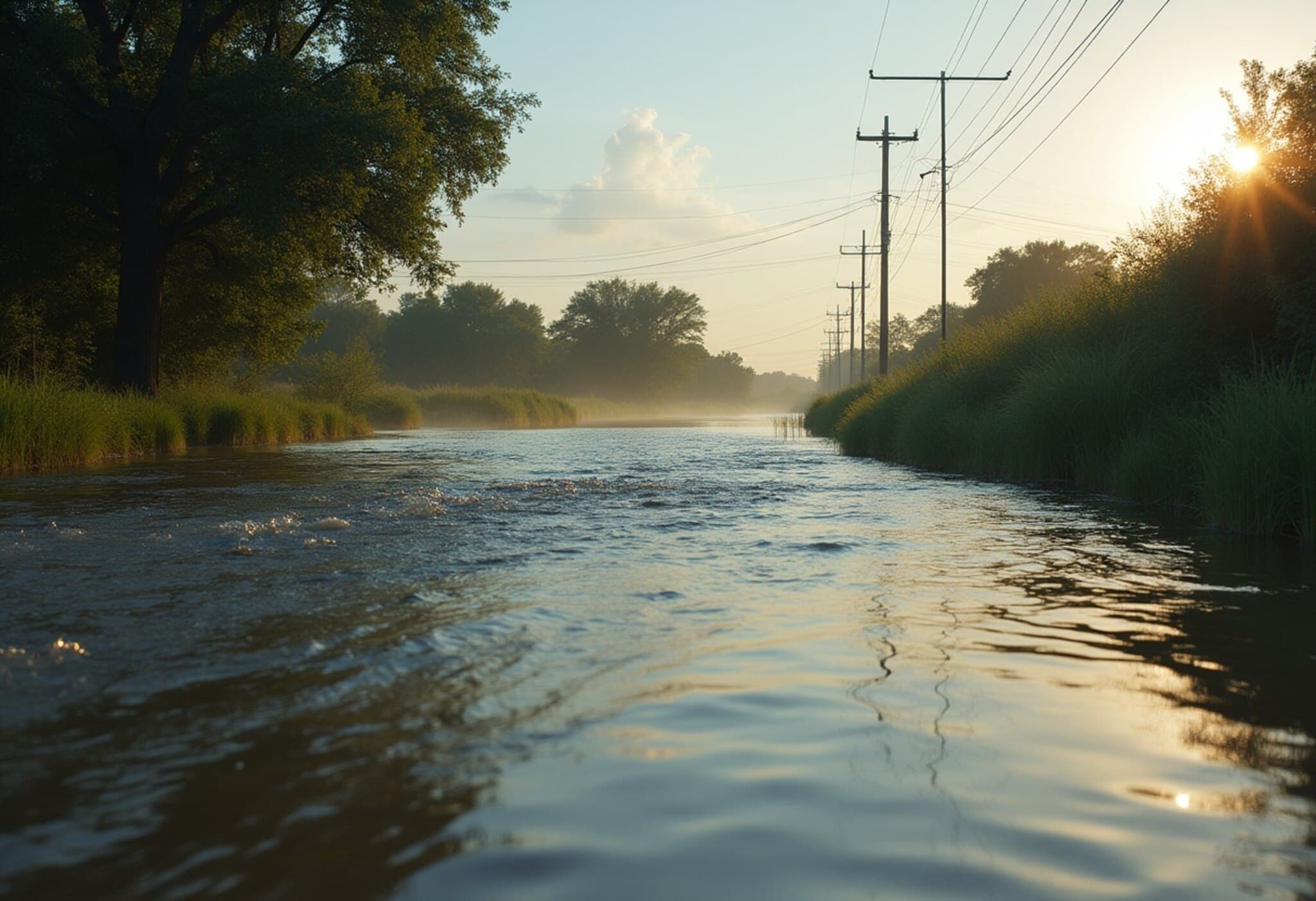
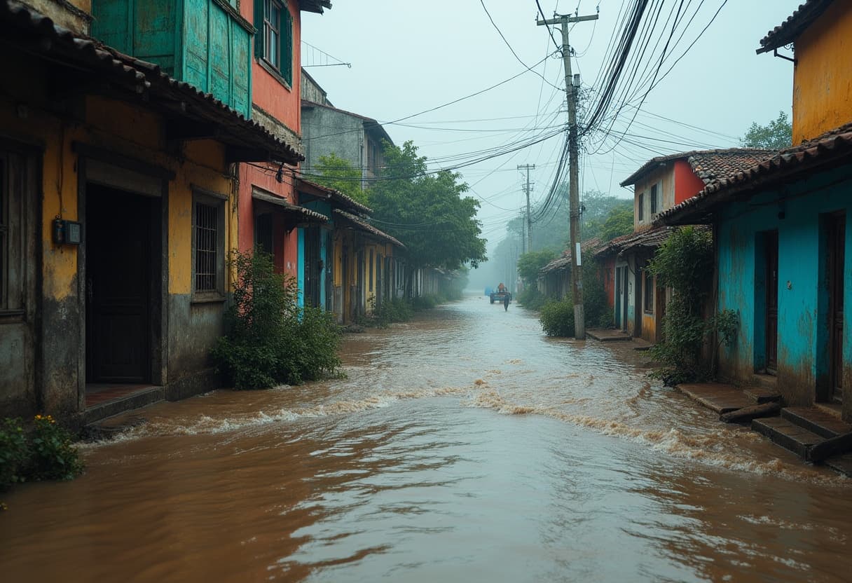
In early July 2025, a striking timelapse video captured the rapid surge of floodwaters along the Llano River near Kingsland, Texas. The footage, taken on July 4th, vividly illustrates how quickly nature’s forces can transform serene waterways into powerful, hazardous torrents.
The Llano River: Beauty Meets Danger
The Llano River, a beloved spot for locals and tourists alike, is known for its picturesque landscapes and recreational appeal. However, this natural beauty can swiftly turn treacherous, especially amid intense rainfall. The recent torrential downpour upstream led to a sudden spike in water levels, turning sections of the river into rushing floodwaters in just hours.
What the Timelapse Reveals
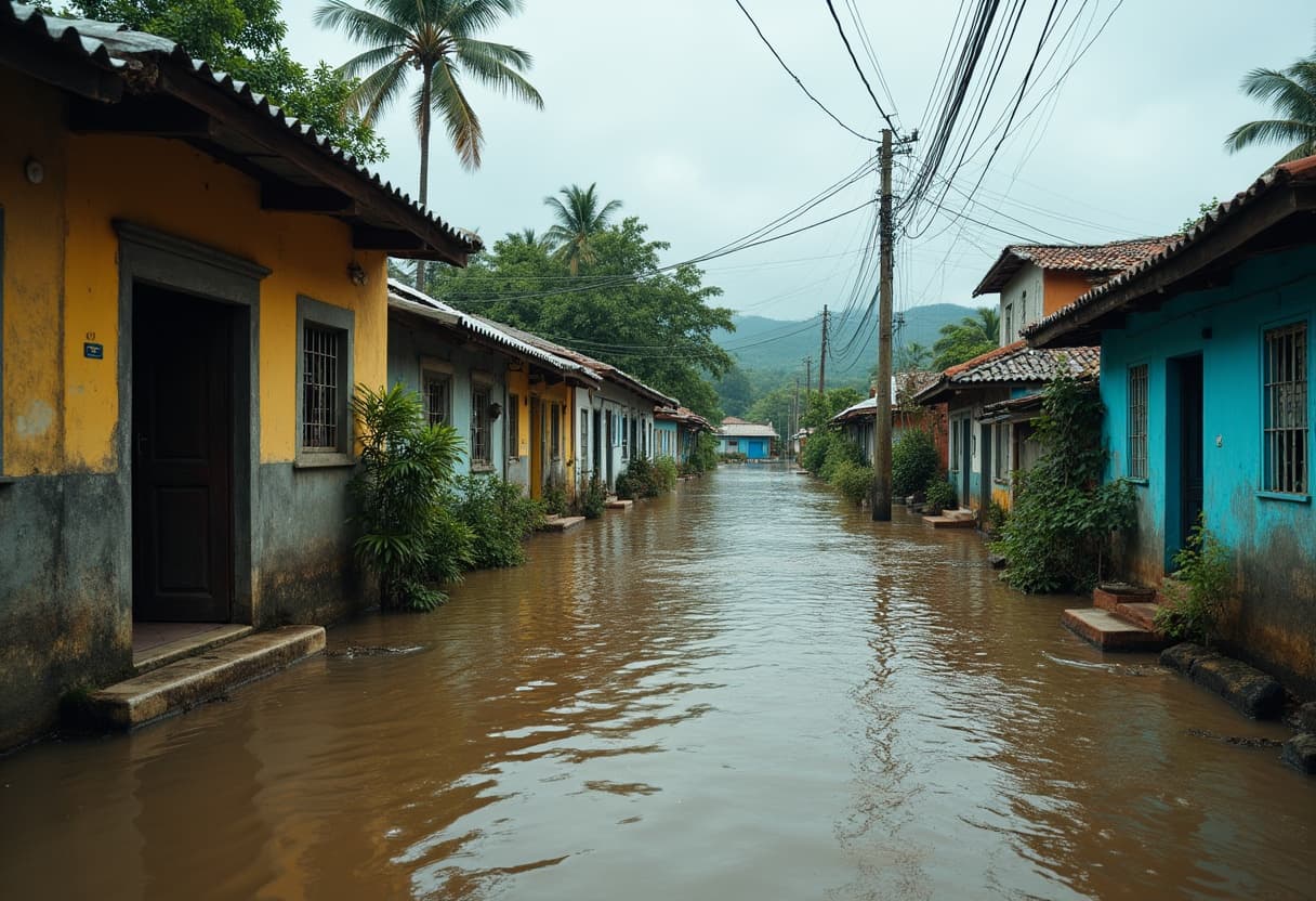
The timelapse serves as a powerful visual diary, compressing hours of rapid flooding into minutes. It starkly demonstrates how floodwaters can rise with little warning—an urgent reminder of the unpredictable nature of floods. Rapid water level changes not only threaten property and infrastructure but pose serious risks to human safety.
Expert Perspective: Why This Matters
From an environmental and policy standpoint, such swift flooding events underscore the critical need for improved flood management strategies in Texas and similar flood-prone areas. Dr. Alicia Moreno, a hydrologist at the University of Texas, points out, "These kinds of rapid flooding incidents are becoming more frequent due to changing climate patterns and intensified rainfall events. It's vital that we enhance our early warning systems and community preparedness."
Furthermore, Texas’ network of rivers, including the Llano, is particularly vulnerable due to urban development and changes in land use that impact natural water absorption. Floodplain management policies will have to adapt to these realities to reduce the risks posed to residents.
Broader Context: The Growing Threat of Flash Floods
Flash floods are among the deadliest weather-related hazards in the United States, often striking with little or no notice. Texas is no stranger to such events, and as climate models forecast more intense rainstorms in the American South, these episodes are expected to rise in frequency and severity.
Local communities, emergency responders, and policymakers must collaborate constantly to refine evacuation routes, improve infrastructure resilience, and promote public awareness. It's not just about preparing for the next flood—but adapting to a new normal where rapid water level changes become sadly commonplace.
What Residents Should Know
- Always monitor local weather alerts, especially during heavy rains.
- Avoid low-lying areas near rivers and streams during rainfall.
- Never attempt to drive through floodwaters; as little as six inches of moving water can sweep a vehicle away.
- Have an emergency plan ready for you and your family, including evacuation routes and communication strategies.
Looking Ahead
The timelapse from the Llano River is more than just a captivating clip; it’s a wake-up call. As Texas continues to experience extreme weather shifts, the imperative to invest in flood mitigation and public safety grows stronger.
Communities thriving near rivers must balance the allure of natural beauty with respect for the power of water—and build resilience in the face of an uncertain climate future.
Editor's Note
This rapid flooding event captured on video highlights the urgent need for ongoing research and policy action on flood preparedness in Texas. While stunning to watch, such swift water surges carry real threats to life and property. As extreme weather becomes more common, how can communities better adapt and protect their residents? This story brings both immediate visual impact and a long-term challenge for environmental management and public safety agencies alike.

