Tropical Storm Erin Emerging as Atlantic’s 2025 Hurricane Contender
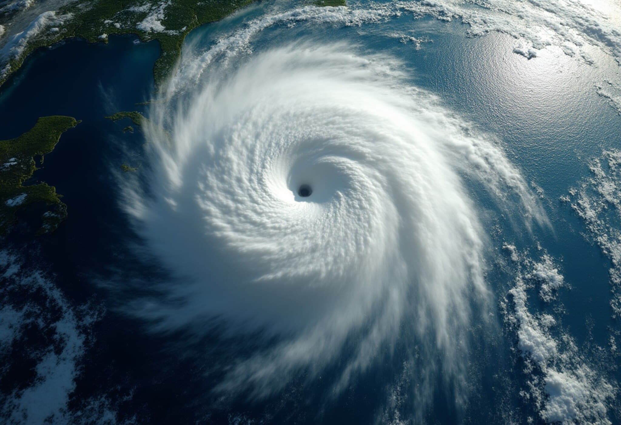
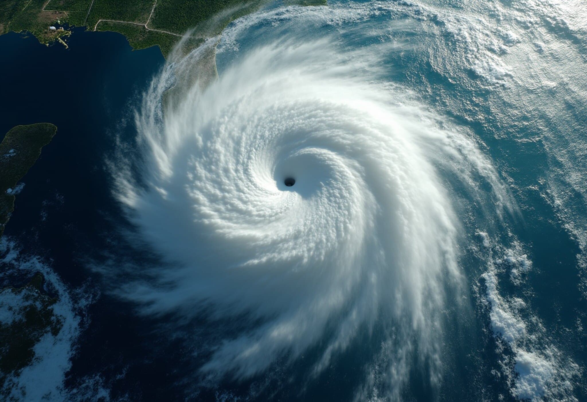
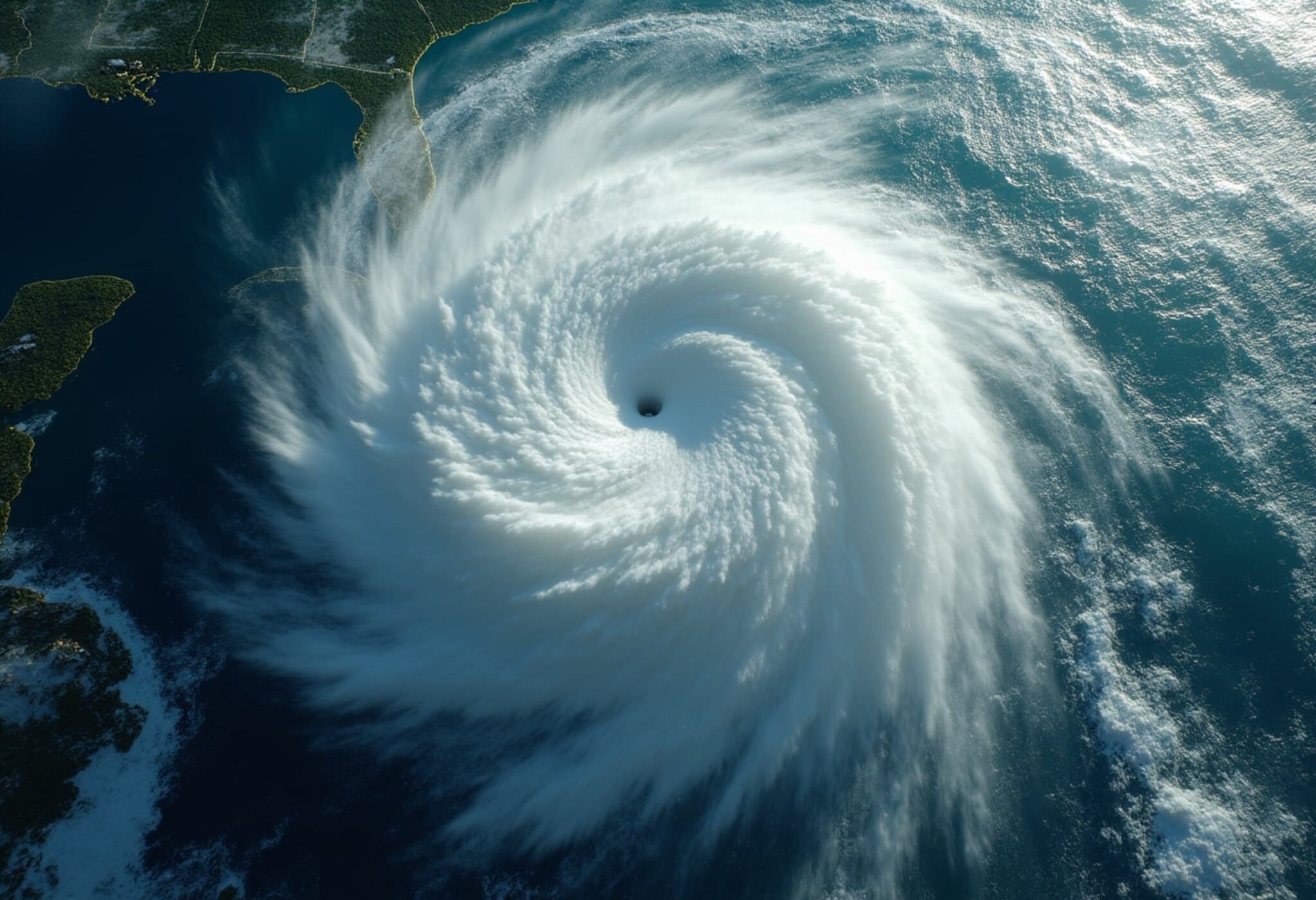
On August 11, 2025, Tropical Storm Erin formed in the eastern Atlantic Ocean, marking a notable development in this year’s hurricane season. With sustained winds reaching 45 mph (72 kph), meteorologists are closely watching Erin as it steadily gains strength, with forecasts suggesting it may evolve into the season’s first hurricane by Wednesday evening.
Tracking Erin’s Journey Across Warm Atlantic Waters
Currently positioned just west of the Cabo Verde islands off the coast of Africa, Erin is moving westward across what experts call the "main development region" — a critical stretch of the Atlantic between Africa and the Caribbean where warm ocean temperatures provide fuel for tropical cyclones to intensify.
Though Erin is still several days away from reaching the western Atlantic near the Caribbean and Bermuda, its progression is being watched with cautious attention due to the warm seas it will traverse, combined with atmospheric conditions that tend to influence hurricane paths.
The Role of Atmospheric Patterns and Climate Factors
The storm's future track will largely be shaped by the Bermuda High, a vast area of high atmospheric pressure over the Atlantic. This high-pressure system often acts as a steering force for tropical storms, either guiding them toward or away from land masses such as the U.S. East Coast and Caribbean islands.
Meanwhile, sea surface temperatures remain elevated — warmer than average though not at the record-breaking peaks of recent years — a reflection of ongoing climate warming driven by human activity. Such warmth increases the potential for rapid intensification, meaning Erin could escalate quickly if conditions align.
Potential for Major Hurricane Strength Ahead
Forecast models suggest Erin may reach Category 3 or greater hurricane status by Saturday if it encounters favorable environmental conditions. This rapid intensification potential highlights the urgent need for preparedness in vulnerable regions.
Contextualizing This Season’s Activity
- Erin is the fifth named storm of the 2025 Atlantic hurricane season, joining Andrea, Barry, Chantal, and Dexter.
- Unusually, none of the previous storms have yet attained hurricane strength — a deviation from historical norms.
- Historically, the Atlantic’s first hurricane tends to form around August 11; however, recent years have seen earlier storm development, pointing to evolving climate and oceanic patterns.
- For comparison, last year’s season had already produced multiple hurricanes by this date, underscoring variability in seasonal intensity.
Additional Atlantic Activity on the Horizon
The National Hurricane Center is also monitoring two other areas in the open Atlantic with a low chance of tropical cyclone formation this week. Their presence signals an uptick in atmospheric activity, consistent with seasonal trends as the peak months approach.
Expert Insights: What Erin Means in a Changing Climate
Dr. Laura Simmons, a climatologist specializing in tropical meteorology, notes, "While the Atlantic hurricane season always carries uncertainties, the warming ocean waters amplified by climate change are creating conditions conducive to more frequent and intense storms. Erin’s potential rapid intensification serves as a reminder that communities from the Caribbean to the U.S. East Coast must remain vigilant and prioritize resilience."
In particular, forecasters emphasize that the full threat posed by Erin will become clearer only as it moves closer to the Americas later this week. Emergency management officials in vulnerable coastal regions are urged to stay informed through official channels as forecasts update.
What to Watch for This Week
- Wednesday Evening: Potential upgrade of Erin to hurricane status.
- Saturday: Possibility of Erin reaching major hurricane (Category 3+) strength.
- Late Week: Storm track clarity as Erin interacts with the Bermuda High and shifts toward the western Atlantic.
Conclusion
Tropical Storm Erin’s early-season emergence and probable intensification highlight ongoing challenges in Atlantic hurricane forecasting amid a warming climate. The evolving situation underscores the importance of a proactive approach from policymakers, emergency responders, and the public alike.
As Erin approaches hurricane status, we are reminded of the intersecting roles of natural weather cycles and human-driven climate change in shaping storm intensity. How prepared are our coastal communities for potentially rapid storm development? What lessons from recent seasons can enhance early warning systems and disaster response? This story is developing — staying informed and ready remains paramount.

